Home
Images
Vectors
Videos
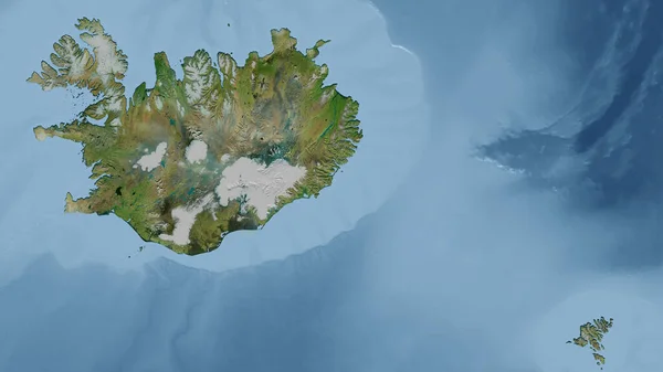
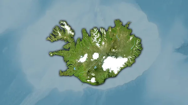
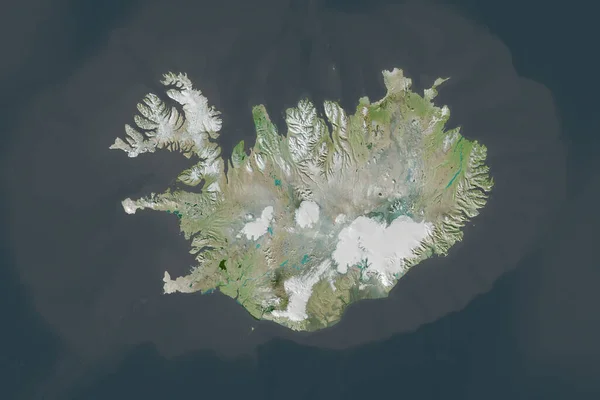
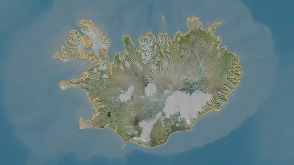
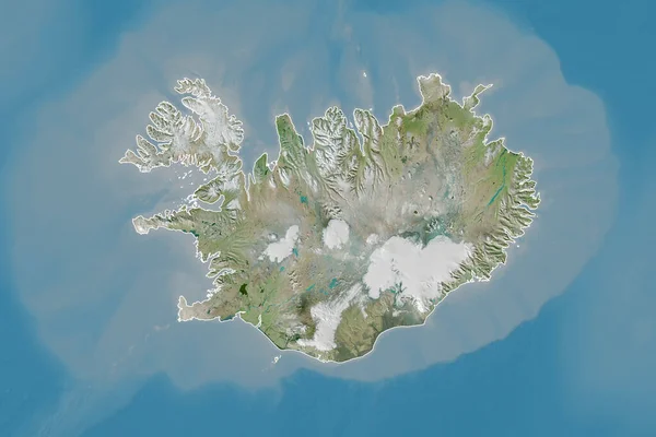
Stock image Iceland highlighted on a high resolution satellite map
Published:
Mar.15, 2024 17:06:05
Author:
zelwanka
Views:
1
Downloads:
1
File type:
image
/
jpg
File size:
2.62 MB
Orginal size:
2688
x
1512
px
Available sizes:
S
(500 x 281)
M
(1000 x 563)
L
(2000 x 1125)
XL
(2688 x 1512)
EL0
(2688 x 1512)
Level:
beginner
Download Image
Image topics:
Shape
Nature
Border
Contour
Earth
Planet
World
Ocean
Science
Capital
Europe
Imagery
Outline
Country
Map
Geography
Continent
Land
Zoom
Satellite
Region
Territory
Atlas
Highlighted
Overlay
Iceland
Reykjavik
Isl
Stereographic
Administrative Division
Similar stock images
Shape Of Iceland Separated By The Desaturation Of Neighboring Areas. Borders. Satellite Imagery. 3D Rendering
3000 × 2000
Iceland. Close-up Perspective Of The Country - No Outline. Satellite Imagery
2880 × 1620
Iceland Area On The Satellite B Map In The Stereographic Projection - Raw Composition Of Raster Layers With Dark Glowing Outline
2880 × 1620
Extended Area Of Iceland With Country Outline, International And Regional Borders. Satellite Imagery. 3D Rendering
3000 × 2000
Shape Of Iceland Separated By The Desaturation Of Neighboring Areas. Satellite Imagery. 3D Rendering
3000 × 2000
Iceland Area On The Satellite A Map In The Stereographic Projection - Raw Composition Of Raster Layers With Dark Glowing Outline
2880 × 1620
Outlined Shape Of The Iceland Area. Satellite Imagery. 3D Rendering
3840 × 2160
Extended Area Of Outlined Iceland. Satellite Imagery. 3D Rendering
3000 × 2000