photo free
Home Images Vectors Videos

Stock image Ilha Maio in the North Atlantic Ocean, belonging to Guinea-Bissau, isolated on a topographic, OSM Humanitarian style map, with distance scale

Stock image Ilha Maio in the North Atlantic Ocean, belonging to Guinea-Bissau, isolated on a topographic, OSM Humanitarian style map, with distance scale
Published: Sep.11, 2024 14:20:38
Author: zelwanka
Views: 0
Downloads: 0
File type: image / jpg
File size: 0.81 MB
Orginal size: 2160 x 2160 px
Available sizes:
S
(500 x 500)
M
(1000 x 1000)
L
(2000 x 2000)
XL
(2160 x 2160)
EL0
(2160 x 2160)
Level: beginner
Download Image
Image topics:

Similar stock images

stock image Shape of a topographic, OSM standard style map of the Azerbaijan, with distance scale and map border coordinates, isolated on white

Shape Of A Topographic, OSM Standard Style Map Of The Azerbaijan, With Distance Scale And Map Border Coordinates, Isolated On White

2411 × 1866
stock image Shape of a topographic, OSM standard style map of the Samoa, with distance scale and map border coordinates, isolated on white

Shape Of A Topographic, OSM Standard Style Map Of The Samoa, With Distance Scale And Map Border Coordinates, Isolated On White

3001 × 1499
stock image Shape of a topographic, OSM standard style map of the Tajikistan, with distance scale and map border coordinates, isolated on white

Shape Of A Topographic, OSM Standard Style Map Of The Tajikistan, With Distance Scale And Map Border Coordinates, Isolated On White

2467 × 1823
stock image Shape of a topographic, OSM standard style map of the Saint Pierre and Miquelon, with distance scale and map border coordinates, isolated on white

Shape Of A Topographic, OSM Standard Style Map Of The Saint Pierre And Miquelon, With Distance Scale And Map Border Coordinates, Isolated On White

1588 × 2832
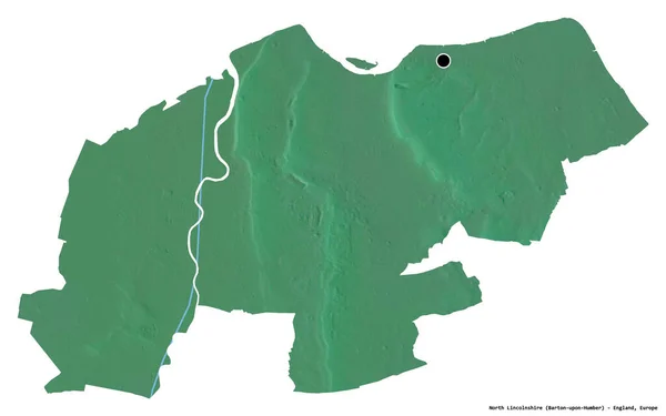
stock image Shape of North Lincolnshire, unitary authority of England, with its capital isolated on white background. Topographic relief map. 3D rendering

Shape Of North Lincolnshire, Unitary Authority Of England, With Its Capital Isolated On White Background. Topographic Relief Map. 3D Rendering

3836 × 2398
stock image Shape of a topographic, OSM standard style map of the Liechtenstein, with distance scale and map border coordinates, isolated on white

Shape Of A Topographic, OSM Standard Style Map Of The Liechtenstein, With Distance Scale And Map Border Coordinates, Isolated On White

1608 × 2797
stock image Shape of a topographic, OSM standard style map of the Bahrain, with distance scale and map border coordinates, isolated on white

Shape Of A Topographic, OSM Standard Style Map Of The Bahrain, With Distance Scale And Map Border Coordinates, Isolated On White

1716 × 2622
stock image Shape of a topographic, OSM standard style map of the Montserrat, with distance scale and map border coordinates, isolated on white

Shape Of A Topographic, OSM Standard Style Map Of The Montserrat, With Distance Scale And Map Border Coordinates, Isolated On White

1752 × 2568