Home
Images
Vectors
Videos
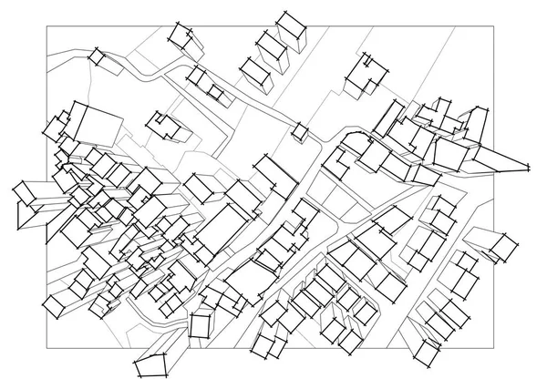
Stock image Imaginary cadastral map of territory with 3D buildings, fields,
Published:
Sep.05, 2019 06:10:09
Author:
Francescoscatena
Views:
44
Downloads:
2
File type:
image
/
jpg
File size:
3.19 MB
Orginal size:
4598
x
3278
px
Available sizes:
S
(500 x 356)
M
(1000 x 713)
L
(2000 x 1426)
XL
(4598 x 3278)
EL0
(4598 x 3278)
Level:
bronze
Download Image
Image topics:
Graphic
Illustration
Dimensional
Concepts
Ideas
Field
Road
Concept
Building
City
Measure
Measurement
Planning
Drawing
Street
Pencil
Tax
Ownership
Property
Town
Palace
Map
Cartography
Geography
Plan
Land
Residential
Chart
Topography
Crossroad
Survey
Taxation
Contributions
Cadastre
Human Hand
Copy Space
Building Exterior
Three Dimensional
Residential District
Home Ownership
Cadastral
Exaction
Three
Land Parcel
Cartographic Survey
Land Register
Cadastral Parcel
Cadastral Map
Tridimenional
Similar stock images
Abstract Construction Structure Vector
5850 × 4394
Top View Of An Imaginary City With Buildings, Roads And Land Par
4598 × 3278
Abstract Architectural Wallpaper, Digital Background
4000 × 3427
Abstract Architectural Wallpaper, Digital Background
4000 × 3185
Abstract Geometric Shape Vector Illustration
4001 × 3190
Architectural Background.
3000 × 3000
Architecture Building 3d Illustration On Background,
4096 × 2160
Abstract Architectural Wallpaper Design, Digital Concept Background
6500 × 4069