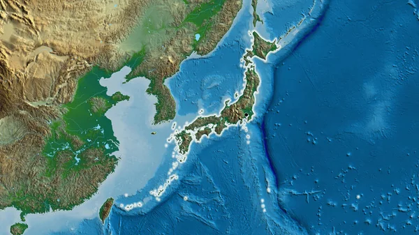
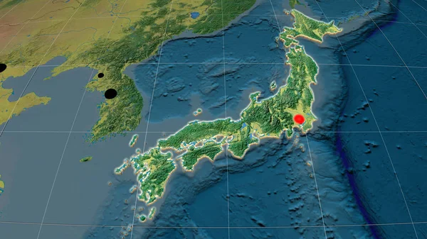
Stock image Japan extruded on the physical orthographic map. Capital, administrative borders and graticule

Published: Jun.19, 2020 09:24:55
Author: Yarr65
Views: 1
Downloads: 0
File type: image / jpg
File size: 6.21 MB
Orginal size: 3840 x 2160 px
Available sizes:
Level: bronze
Similar stock images
Japan Extruded On The Relief Orthographic Map. Capital, Administrative Borders And Graticule
3840 × 2160
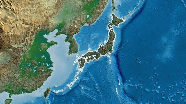
Japan Extruded On The Topographic Orthographic Map. Capital, Administrative Borders And Graticule
3840 × 2160
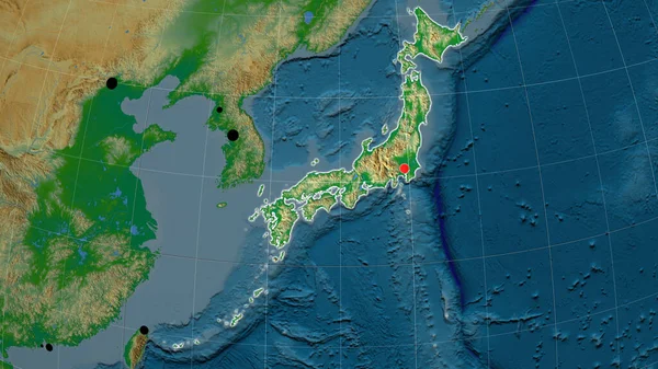
Japan Outlined On The Physical Orthographic Map. Capital, Administrative Borders And Graticule
3840 × 2160
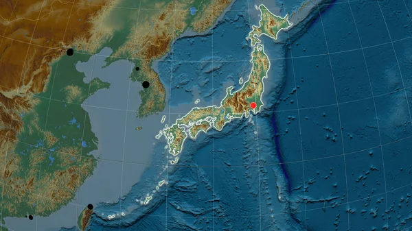
Japan Outlined On The Relief Orthographic Map. Capital, Administrative Borders And Graticule
3840 × 2160