Home
Images
Vectors
Videos
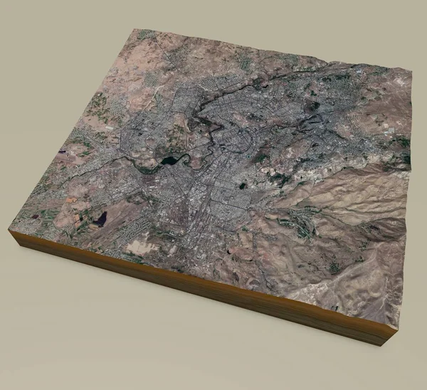
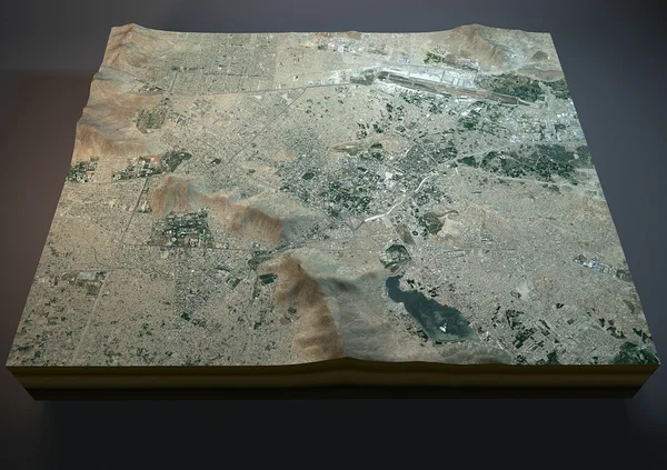
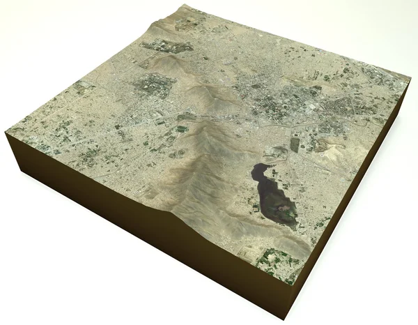
Stock image Kabul Afghanistan, town, satellite view
Published:
Oct.13, 2014 09:48:01
Author:
vampy1
Views:
192
Downloads:
1
File type:
image
/
jpg
File size:
8.69 MB
Orginal size:
4289
x
3333
px
Available sizes:
S
(500 x 389)
M
(1000 x 777)
L
(2000 x 1554)
XL
(4289 x 3333)
EL0
(4289 x 3333)
Level:
silver
Download Image
Image topics:
Green
Image
White
Background
View
Illustration
Design
Isolated
Detail
Abstract
Light
Border
Picture
3d
Village
City
Global
Mountains
Earth
Town
Capital
Section
Country
Map
Geography
National
Land
Ground
Cracked
Asia
State
Borders
Satellite
Geographic
Locations
Settlement
Territory
Afghan
Atlas
Geographical
Cross Section
Afghanistan
Muslims
Kabul
Similar stock images
Abbottabad, Pakistan, Satellite View, Map
4724 × 3333
Ecosystem Terrain Heathery
5315 × 5315
Egypt Map - 3D Digital High-altitude Topographic Map. 3D Vector Illustration. Colored Relief, Rugged Terrain. Cartography And Topology.
5000 × 4000
Satellite View Of The Largest Fjord In The Mediterranean. The Bay Of Kotor, Boka. It Is Surrounded By Dinaric Alps: The Orjen And The Lovcen Mountains. 3d Render. Section Of The Fjord. Map
5085 × 4133
Mountain Matterhorn In Switzerland
4027 × 3241
Satellite Map Of Yerevan. It Is The Capital And Largest City Of Armenia. Situated Along The Hrazdan River. Map Of Streets And Buildings Of The Town Center. Asia
5833 × 5333
Satellite View Of Kabul Map
4724 × 3333
Shape Of Ali Sabieh, Region Of Djibouti, With Its Capital Isolated On A Solid Color Background. Satellite Imagery. 3D Rendering
3836 × 3686