Home
Images
Vectors
Videos
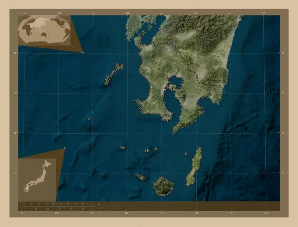
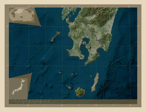
Stock image Kagoshima, prefecture of Japan. Low resolution satellite map. Locations of major cities of the region. Corner auxiliary location maps
Published:
Oct.13, 2022 10:01:23
Author:
Yarr65
Views:
2
Downloads:
0
File type:
image
/
jpg
File size:
5.33 MB
Orginal size:
4930
x
3770
px
Available sizes:
S
(500 x 382)
M
(1000 x 765)
L
(2000 x 1529)
XL
(4930 x 3770)
EL0
(4930 x 3770)
Level:
bronze
Download Image
Image topics:
Shape
Nature
Border
Contour
Earth
Planet
World
Ocean
Science
Capital
Outline
Country
Map
Geography
Continent
Land
Zoom
Asia
Japan
Tokyo
Region
Prefecture
Territory
Atlas
Legend
Stereographic
Kagoshima
Jpn
Nambu
Fujikawaguchiko
Fujiyoshida
Nirasaki
Otsuki
Oshino
Hokuto
Administrative Division
Hayakawa
Uenohara
Enzan
Similar stock images
Kagoshima, Prefecture Of Japan. Low Resolution Satellite Map. Corner Auxiliary Location Maps
4930 × 3770
Kagoshima, Prefecture Of Japan. High Resolution Satellite Map. Locations Of Major Cities Of The Region. Corner Auxiliary Location Maps
4930 × 3770
Kagoshima, Prefecture Of Japan. High Resolution Satellite Map. Corner Auxiliary Location Maps
4930 × 3770
Kagoshima, Prefecture Of Japan. Low Resolution Satellite Map. Locations And Names Of Major Cities Of The Region. Corner Auxiliary Location Maps
4930 × 3770
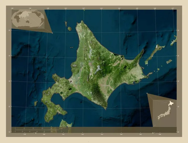
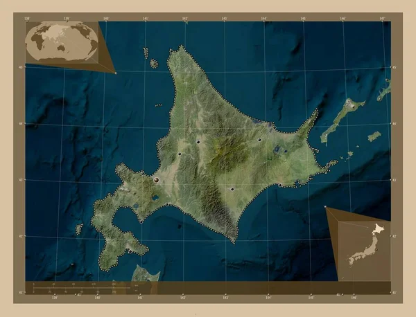
Hokkaido, Circuit Of Japan. Low Resolution Satellite Map. Corner Auxiliary Location Maps
4930 × 3770
Hokkaido, Circuit Of Japan. High Resolution Satellite Map. Corner Auxiliary Location Maps
4930 × 3770
Nagasaki, Prefecture Of Japan. Elevation Map Colored In Wiki Style With Lakes And Rivers. Corner Auxiliary Location Maps
4930 × 3770
Hokkaido, Circuit Of Japan. Low Resolution Satellite Map. Locations Of Major Cities Of The Region. Corner Auxiliary Location Maps
4930 × 3770