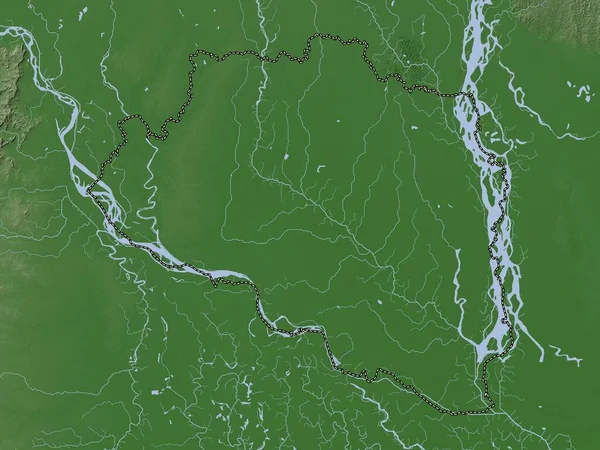
Stock image Kampong Chhnang, province of Cambodia. Elevation map colored in wiki style with lakes and rivers

Published: Sep.28, 2022 10:55:28
Author: Yarr65
Views: 2
Downloads: 0
File type: image / jpg
File size: 6.74 MB
Orginal size: 3840 x 2880 px
Available sizes:
Level: bronze
Similar stock images
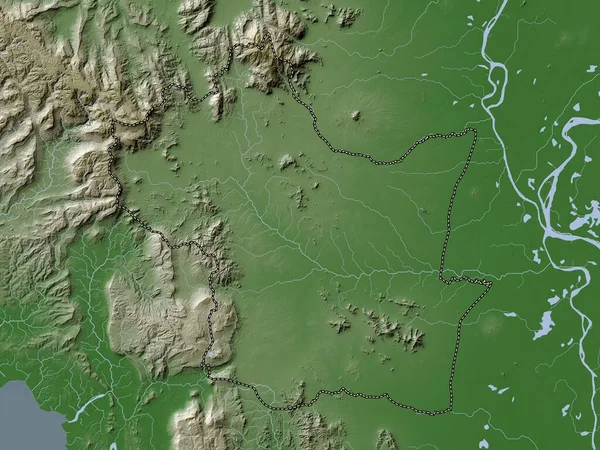
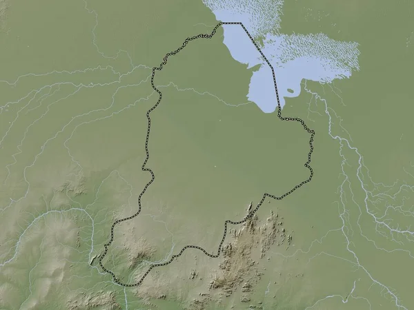
Kampong Speu, Province Of Cambodia. Elevation Map Colored In Wiki Style With Lakes And Rivers
3840 × 2880

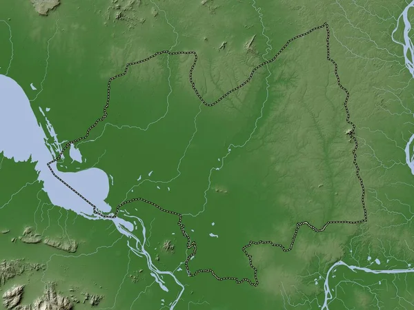
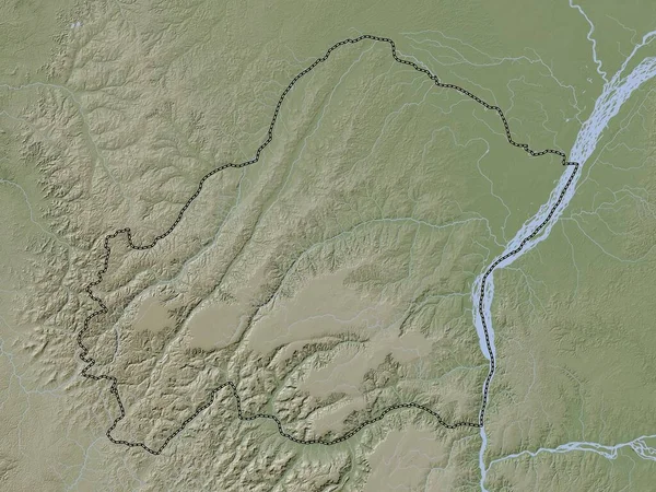
Kampong Thum, Province Of Cambodia. Elevation Map Colored In Wiki Style With Lakes And Rivers
3840 × 2880