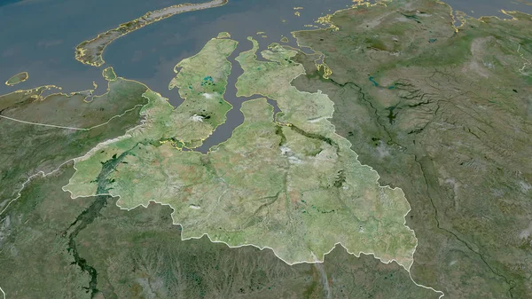
Stock image Karelia - republic of Russia zoomed and highlighted with capital. Satellite imagery. 3D rendering

Published: Aug.18, 2020 11:16:45
Author: Yarr65
Views: 0
Downloads: 0
File type: image / jpg
File size: 5.1 MB
Orginal size: 2880 x 1620 px
Available sizes:
Level: bronze
Similar stock images


Arkhangel'sk - Region Of Russia Zoomed And Highlighted With Capital. Satellite Imagery. 3D Rendering
2880 × 1620