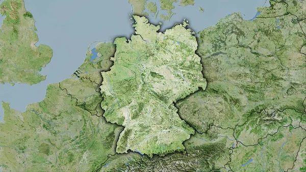
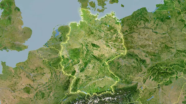
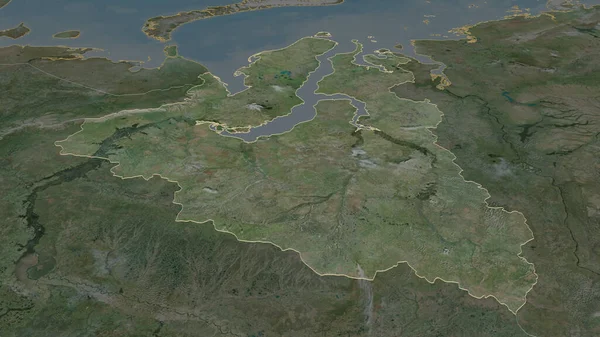
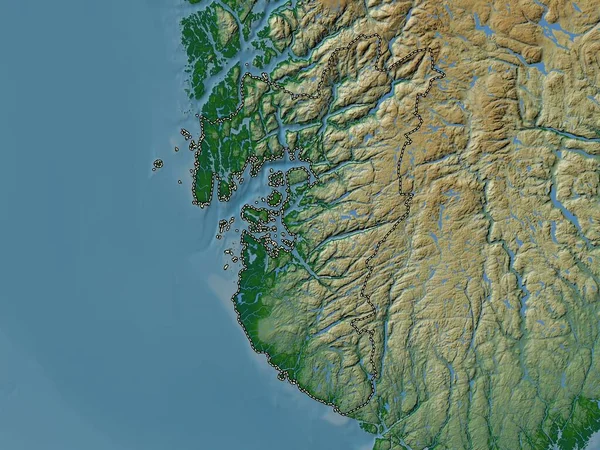
Stock image Yamal-Nenets - autonomous province of Russia zoomed and highlighted. Satellite imagery. 3D rendering
Published: Aug.28, 2020 10:14:33
Author: Yarr65
Views: 5
Downloads: 0
File type: image / jpg
File size: 4.87 MB
Orginal size: 2880 x 1620 px
Available sizes:
Level: bronze