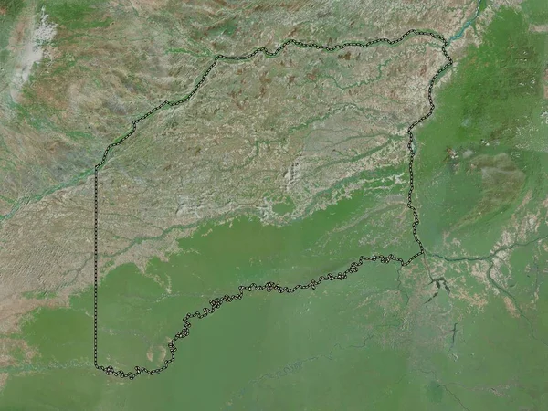
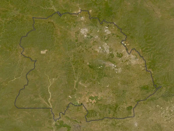
Stock image Kasai, province of Democratic Republic of the Congo. High resolution satellite map

Published: Sep.28, 2022 13:16:50
Author: Yarr65
Views: 1
Downloads: 0
File type: image / jpg
File size: 9.62 MB
Orginal size: 3840 x 2880 px
Available sizes:
Level: bronze