Home
Images
Vectors
Videos
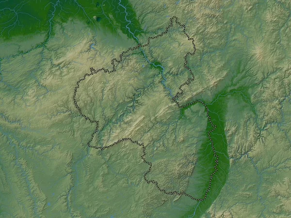
Stock image Kayes, region of Mali. Colored elevation map with lakes and rivers
Published:
Nov.02, 2022 14:21:51
Author:
Yarr65
Views:
3
Downloads:
0
File type:
image
/
jpg
File size:
7.12 MB
Orginal size:
3840
x
2880
px
Available sizes:
S
(500 x 375)
M
(1000 x 750)
L
(2000 x 1500)
XL
(3840 x 2880)
EL0
(3840 x 2880)
Level:
bronze
Download Image
Image topics:
Shape
Nature
Border
Contour
Earth
Planet
World
Ocean
Science
Capital
Outline
Country
Map
Geography
Africa
Continent
Land
Zoom
Region
Territory
Atlas
Legend
Mali
Bamako
Stereographic
Kayes
Mli
Administrative Division
Taoudenni
Goundam
Niafunke
Araouane
Similar stock images
Rheinland-Pfalz, State Of Germany. Colored Elevation Map With Lakes And Rivers
3840 × 2880
Sachsen, State Of Germany. Elevation Map Colored In Wiki Style With Lakes And Rivers
3840 × 2880
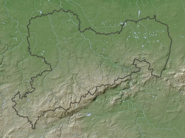
Rheinland-Pfalz, State Of Germany. Elevation Map Colored In Wiki Style With Lakes And Rivers
3840 × 2880
Pardubicky, Region Of Czech Republic. Colored Elevation Map With Lakes And Rivers
3840 × 2880
Sachsen, State Of Germany. Colored Elevation Map With Lakes And Rivers
3840 × 2880
Bourgogne-Franche-Comte, Region Of France. Elevation Map Colored In Wiki Style With Lakes And Rivers
3840 × 2880
Derbyshire, Administrative County Of England - Great Britain. Elevation Map Colored In Wiki Style With Lakes And Rivers
3840 × 2880
Luxembourg, Province Of Belgium. Colored Elevation Map With Lakes And Rivers
3840 × 2880