Home
Images
Vectors
Videos
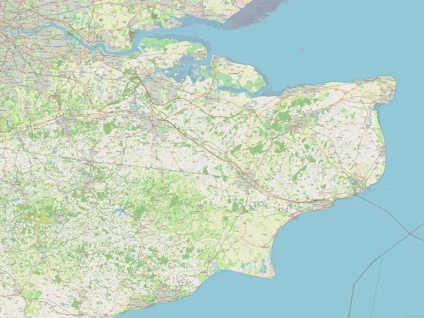
Stock image Kent, administrative county of England - Great Britain. Open Street Map
Published:
May.05, 2023 12:06:28
Author:
Yarr65
Views:
0
Downloads:
0
File type:
image
/
jpg
File size:
6.95 MB
Orginal size:
3840
x
2880
px
Available sizes:
S
(500 x 375)
M
(1000 x 750)
L
(2000 x 1500)
XL
(3840 x 2880)
EL0
(3840 x 2880)
Level:
bronze
Download Image
Image topics:
Shape
Nature
Border
Contour
Earth
Planet
World
Ocean
Science
Capital
Europe
Outline
Country
Map
Geography
Continent
Land
Zoom
Deal
London
Region
Territory
Atlas
Legend
Dover
Kent
Canterbury
Stereographic
Gravesend
Margate
Sevenoaks
Ashford
Maidstone
Whitstable
Ramsgate
GBR
Folkestone
Dartford
Tonbridge
Herne Bay
Royal Tunbridge Wells
Sittingbourne
Administrative Division
Administrative County
England Great Britain
Similar stock images
South East, Region Of United Kingdom. Open Street Map
3840 × 2880
Yorkshire And The Humber, Region Of United Kingdom. Open Street Map
3840 × 2880
North Yorkshire, Administrative County Of England - Great Britain. Open Street Map
3840 × 2880
North Norfolk, Non Metropolitan District Of England - Great Britain. Open Street Map
3840 × 2880
Rother, Non Metropolitan District Of England - Great Britain. Open Street Map
3840 × 2880
Norfolk, Administrative County Of England - Great Britain. Open Street Map
3840 × 2880
East Midlands, Region Of United Kingdom. Open Street Map
3840 × 2880