photo free
Home Images Vectors Videos

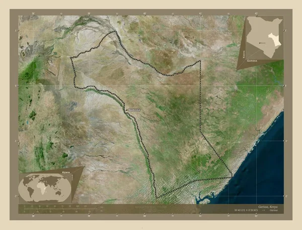
Stock image Kenya highlighted on a high resolution satellite map map with the country's capital point, cartographic grid, distance scale and map border coordinates
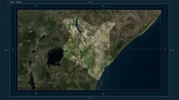
Stock image Kenya highlighted on a high resolution satellite map map with the country's capital point, cartographic grid, distance scale and map border coordinates
Published: Dec.28, 2023 13:25:07
Author: zelwanka
Views: 0
Downloads: 0
File type: image / jpg
File size: 3.36 MB
Orginal size: 2880 x 1620 px
Available sizes:
S
(500 x 281)
M
(1000 x 563)
L
(2000 x 1125)
XL
(2880 x 1620)
EL0
(2880 x 1620)
Level: beginner
Download Image
Image topics:

Similar stock images

stock image Maputo, province of Mozambique. High resolution satellite map. Locations and names of major cities of the region. Corner auxiliary location maps

Maputo, Province Of Mozambique. High Resolution Satellite Map. Locations And Names Of Major Cities Of The Region. Corner Auxiliary Location Maps

4930 × 3770
stock image Garissa, county of Kenya. Satellite imagery. Shape presented against its country area with informative overlays. 3D rendering

Garissa, County Of Kenya. Satellite Imagery. Shape Presented Against Its Country Area With Informative Overlays. 3D Rendering

2880 × 1620
stock image Garissa, county of Kenya. Satellite imagery. Shape presented against its country area with informative overlays. 3D rendering

Garissa, County Of Kenya. Satellite Imagery. Shape Presented Against Its Country Area With Informative Overlays. 3D Rendering

2880 × 1620
stock image Zambezia, province of Mozambique. High resolution satellite map. Locations and names of major cities of the region. Corner auxiliary location maps

Zambezia, Province Of Mozambique. High Resolution Satellite Map. Locations And Names Of Major Cities Of The Region. Corner Auxiliary Location Maps

4930 × 3770
stock image Garissa, county of Kenya. High resolution satellite map. Locations and names of major cities of the region. Corner auxiliary location maps

Garissa, County Of Kenya. High Resolution Satellite Map. Locations And Names Of Major Cities Of The Region. Corner Auxiliary Location Maps

4930 × 3770
stock image Maputo, province of Mozambique. High resolution satellite map. Corner auxiliary location maps

Maputo, Province Of Mozambique. High Resolution Satellite Map. Corner Auxiliary Location Maps

4930 × 3770
stock image Maputo, province of Mozambique. High resolution satellite map. Locations of major cities of the region. Corner auxiliary location maps

Maputo, Province Of Mozambique. High Resolution Satellite Map. Locations Of Major Cities Of The Region. Corner Auxiliary Location Maps

4930 × 3770
stock image Inhambane, province of Mozambique. Satellite imagery. Shape presented against its country area with informative overlays. 3D rendering

Inhambane, Province Of Mozambique. Satellite Imagery. Shape Presented Against Its Country Area With Informative Overlays. 3D Rendering

2880 × 1620