Home
Images
Vectors
Videos
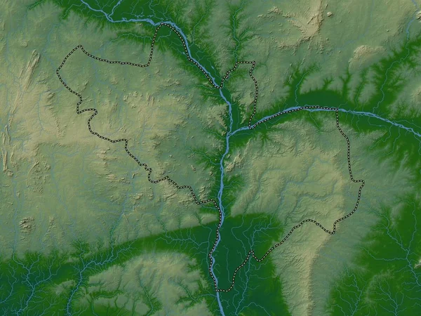
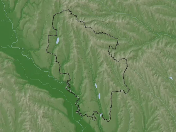
Stock image Kwara, state of Nigeria. Colored elevation map with lakes and rivers
Published:
Nov.02, 2022 14:20:21
Author:
Yarr65
Views:
1
Downloads:
0
File type:
image
/
jpg
File size:
6.94 MB
Orginal size:
3840
x
2880
px
Available sizes:
S
(500 x 375)
M
(1000 x 750)
L
(2000 x 1500)
XL
(3840 x 2880)
EL0
(3840 x 2880)
Level:
bronze
Download Image
Image topics:
Shape
Nature
Border
Contour
Earth
Planet
World
Ocean
Science
Capital
Outline
Country
Map
Geography
Africa
Continent
Land
Zoom
State
Region
Territory
Atlas
Legend
Nigeria
Abuja
Gummi
Nga
Stereographic
Maru
Anka
Sauri
Ilorin
Kwara
Administrative Division
Talata Mafara
Dan Sadau
Moriki
Tsafe
Kaura Namoda
Shinkafi
Similar stock images
Kwara, State Of Nigeria. Elevation Map Colored In Wiki Style With Lakes And Rivers
3840 × 2880
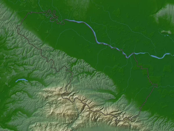
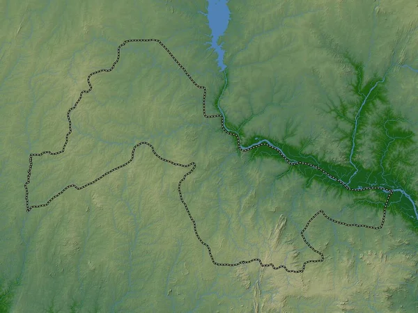
Yamoussoukro, Autonomous District Of Cote D'Ivoire. Colored Elevation Map With Lakes And Rivers
3840 × 2880
Kogi, State Of Nigeria. Colored Elevation Map With Lakes And Rivers
3840 × 2880
Nord-Ubangi, Province Of Democratic Republic Of The Congo. Colored Elevation Map With Lakes And Rivers
3840 × 2880
Viroviticko-Podravska, County Of Croatia. Colored Elevation Map With Lakes And Rivers
3840 × 2880
Kogi, State Of Nigeria. Elevation Map Colored In Wiki Style With Lakes And Rivers
3840 × 2880
Drochia, District Of Moldova. Elevation Map Colored In Wiki Style With Lakes And Rivers
3840 × 2880
Nisporeni, District Of Moldova. Elevation Map Colored In Wiki Style With Lakes And Rivers
3840 × 2880