Home
Images
Vectors
Videos
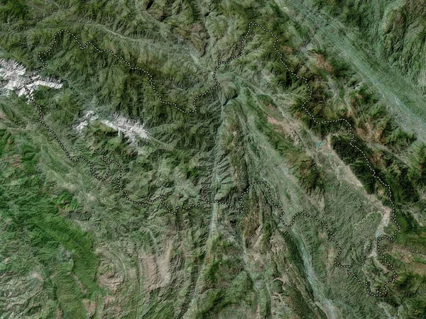
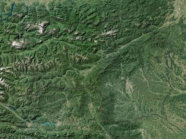
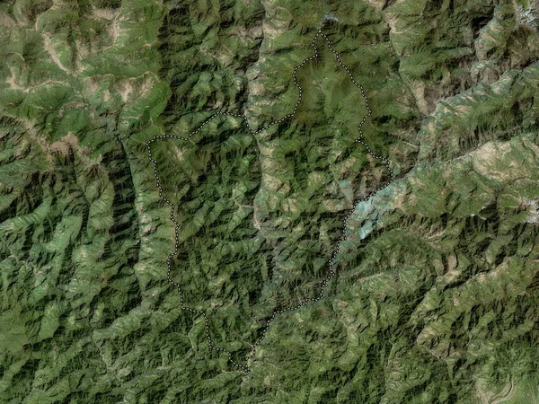
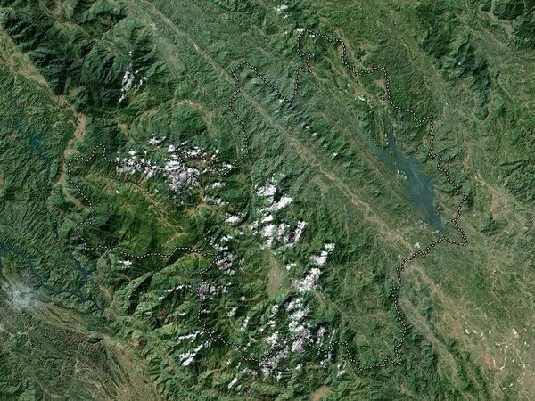
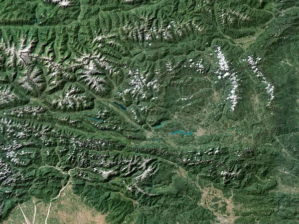
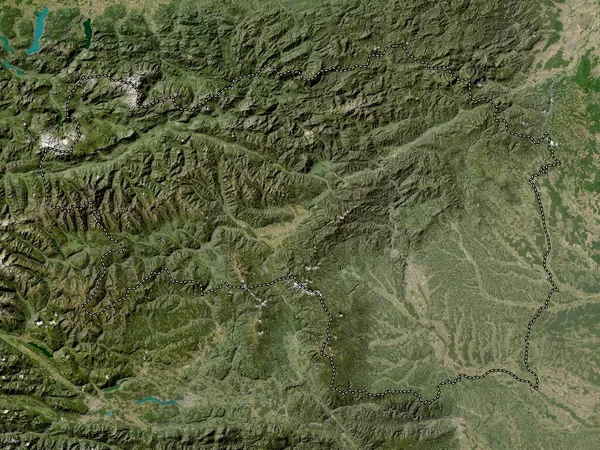
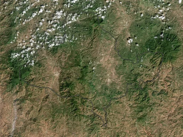
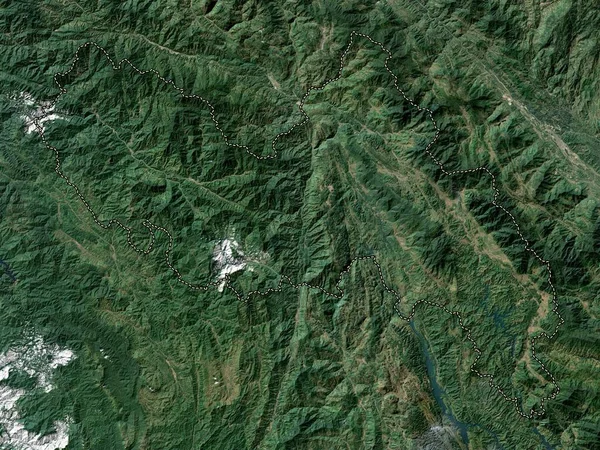
Stock image Lai Chau, province of Vietnam. Low resolution satellite map
Published:
Apr.21, 2023 13:07:54
Author:
Yarr65
Views:
0
Downloads:
0
File type:
image
/
jpg
File size:
10.6 MB
Orginal size:
3840
x
2880
px
Available sizes:
S
(500 x 375)
M
(1000 x 750)
L
(2000 x 1500)
XL
(3840 x 2880)
EL0
(3840 x 2880)
Level:
bronze
Download Image
Image topics:
Shape
Nature
Border
Contour
Earth
Planet
World
Ocean
Science
Capital
Outline
Country
Map
Geography
Continent
Land
Zoom
Asia
Vietnam
Hanoi
Region
Territory
Atlas
Province
Legend
Stereographic
Lai Chau
Vnm
Administrative Division
Similar stock images
Lai Chau, Province Of Vietnam. High Resolution Satellite Map
3840 × 2880
Steiermark, State Of Austria. High Resolution Satellite Map
3840 × 2880
Monggar, District Of Bhutan. High Resolution Satellite Map
3840 × 2880
Yen Bai, Province Of Vietnam. Low Resolution Satellite Map
3840 × 2880
Covasna, County Of Romania. Satellite Imagery. Shape Outlined Against Its Country Area. 3D Rendering
2880 × 1620
Karnten, State Of Austria. High Resolution Satellite Map
3840 × 2880
Steiermark, State Of Austria. Low Resolution Satellite Map
3840 × 2880
Ocotepeque, Department Of Honduras. High Resolution Satellite Map
3840 × 2880