Home
Images
Vectors
Videos
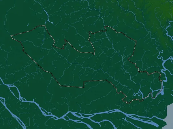
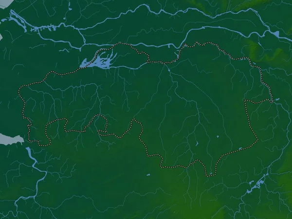
Stock image Long An, province of Vietnam. Colored elevation map with lakes and rivers
Published:
Apr.21, 2023 13:09:32
Author:
Yarr65
Views:
0
Downloads:
0
File type:
image
/
jpg
File size:
6.11 MB
Orginal size:
3840
x
2880
px
Available sizes:
S
(500 x 375)
M
(1000 x 750)
L
(2000 x 1500)
XL
(3840 x 2880)
EL0
(3840 x 2880)
Level:
bronze
Download Image
Image topics:
Shape
Nature
Border
Contour
Earth
Planet
World
Ocean
Science
Capital
Outline
Country
Map
Geography
Continent
Land
Zoom
Asia
Vietnam
Hanoi
Region
Territory
Atlas
Province
Legend
Stereographic
Long An
Tan An
Vnm
Administrative Division
Similar stock images
Long An, Province Of Vietnam. Elevation Map Colored In Wiki Style With Lakes And Rivers
3840 × 2880
Bac Lieu, Province Of Vietnam. Colored Elevation Map With Lakes And Rivers
3840 × 2880
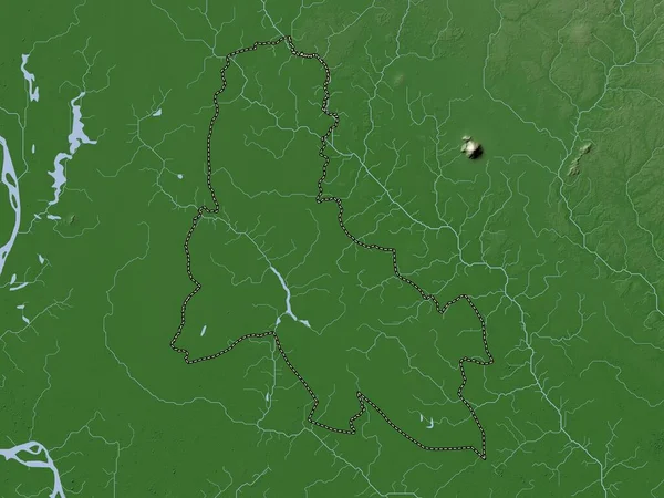
Noord-Brabant, Province Of Netherlands. Elevation Map Colored In Wiki Style With Lakes And Rivers
3840 × 2880
Noord-Brabant, Province Of Netherlands. Colored Elevation Map With Lakes And Rivers
3840 × 2880
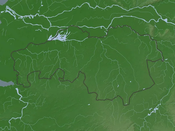
Breckland, Non Metropolitan District Of England - Great Britain. Colored Elevation Map With Lakes And Rivers
3840 × 2880
Svay Rieng, Province Of Cambodia. Colored Elevation Map With Lakes And Rivers
3840 × 2880
Svay Rieng, Province Of Cambodia. Elevation Map Colored In Wiki Style With Lakes And Rivers
3840 × 2880
Bac Lieu, Province Of Vietnam. Elevation Map Colored In Wiki Style With Lakes And Rivers
3840 × 2880