Home
Images
Vectors
Videos
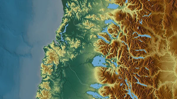
Stock image Los Rios, region of Chile. Colored elevation map with lakes and rivers
Published:
Sep.28, 2022 11:18:33
Author:
Yarr65
Views:
2
Downloads:
0
File type:
image
/
jpg
File size:
8.42 MB
Orginal size:
3840
x
2880
px
Available sizes:
S
(500 x 375)
M
(1000 x 750)
L
(2000 x 1500)
XL
(3840 x 2880)
EL0
(3840 x 2880)
Level:
bronze
Download Image
Image topics:
Shape
Nature
Border
Contour
Earth
Planet
World
Ocean
Science
Capital
Outline
Country
Map
Geography
Continent
Land
Zoom
Region
Territory
Atlas
Cartagena
Legend
Chile
Santiago
Stereographic
South America
Los Andes
San Antonio
Valdivia
San Felipe
Viña Del Mar
Chl
Los Rios
Villa Alemana
Quilpue
La Ligua
Quillota
Administrative Division
Limache
Hacienda La Calera
Llaillay
Similar stock images
Los Rios, Region Of Chile. Elevation Map Colored In Wiki Style With Lakes And Rivers
3840 × 2880
Aisen Del General Carlos Ibanez Del Campo, Region Of Chile. Colored Elevation Map With Lakes And Rivers
3840 × 2880
Aisen Del General Carlos Ibanez Del Campo, Region Of Chile. High Resolution Satellite Map
3840 × 2880
Araucania, Region Of Chile. Colored Relief With Lakes And Rivers. Shape Outlined Against Its Country Area. 3D Rendering
2880 × 1620
Los Rios, Region Of Chile. Colored Relief With Lakes And Rivers. Shape Outlined Against Its Country Area. 3D Rendering
2880 × 1620
Los Lagos, Region Of Chile. Colored Relief With Lakes And Rivers. Shape Outlined Against Its Country Area. 3D Rendering
2880 × 1620
Zoom In On Aisen Del General Carlos Ibanez Del Campo (region Of Chile) Outlined. Oblique Perspective. Topographic Relief Map With Surface Waters. 3D Rendering
3840 × 2160
Nordland, County Of Norway. Elevation Map Colored In Wiki Style With Lakes And Rivers
3840 × 2880