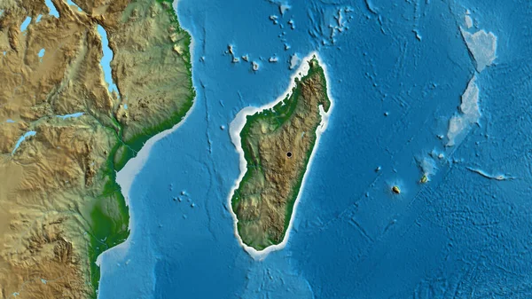
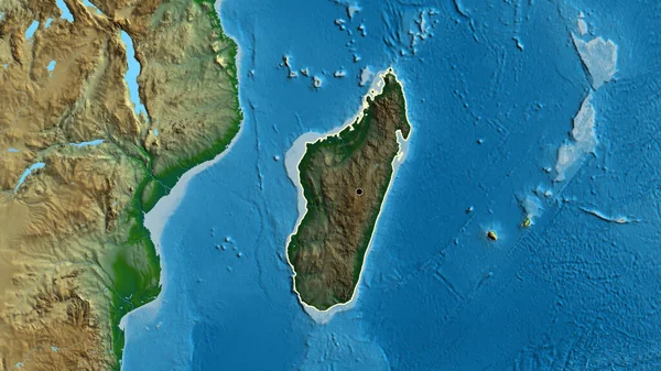
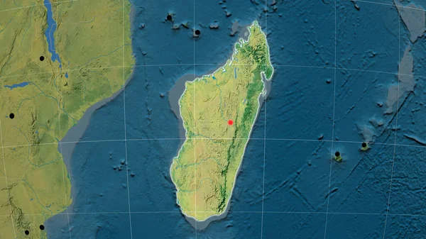
Stock image Madagascar outlined on the physical orthographic map. Capital, administrative borders and graticule

Published: Jun.19, 2020 09:24:52
Author: Yarr65
Views: 29
Downloads: 1
File type: image / jpg
File size: 5.49 MB
Orginal size: 3840 x 2160 px
Available sizes:
Level: bronze
Similar stock images

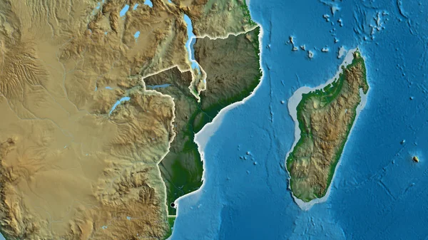
Madagascar Outlined On The Relief Orthographic Map. Capital, Administrative Borders And Graticule
3840 × 2160
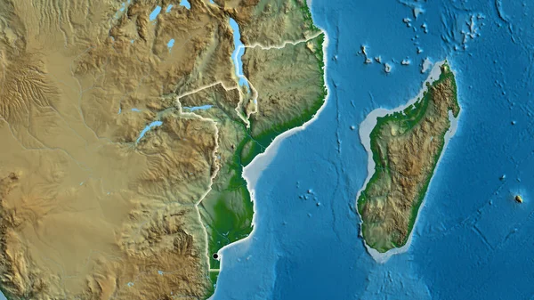
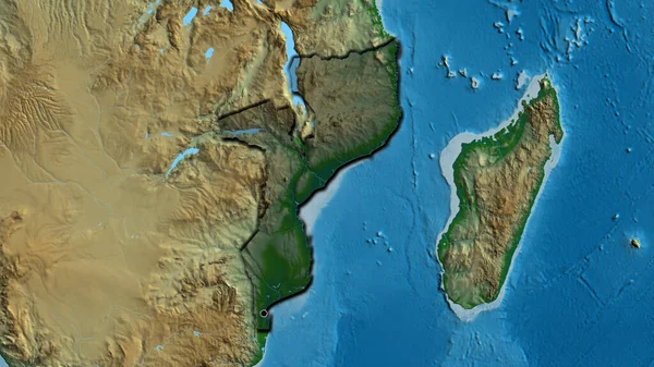
Close-up Of The Mozambique Border Area On A Physical Map. Capital Point. Glow Around The Country Shape.
3840 × 2160
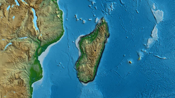
Madagascar Outlined On The Topographic Orthographic Map. Capital, Administrative Borders And Graticule
3840 × 2160