photo free
Home Images Vectors Videos

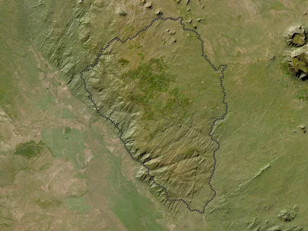
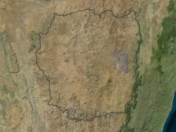
Stock image Makamba, province of Burundi. Low resolution satellite map

Stock image Makamba, province of Burundi. Low resolution satellite map
Published: Sep.20, 2022 06:51:59
Author: Yarr65
Views: 1
Downloads: 0
File type: image / jpg
File size: 6.92 MB
Orginal size: 3840 x 2880 px
Available sizes:
S
(500 x 375)
M
(1000 x 750)
L
(2000 x 1500)
XL
(3840 x 2880)
EL0
(3840 x 2880)
Level: bronze
Download Image
Image topics:

Similar stock images

stock image Thyolo, district of Malawi. Low resolution satellite map

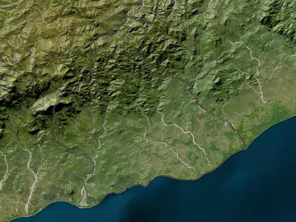
Thyolo, District Of Malawi. Low Resolution Satellite Map

3840 × 2880
stock image Manufahi, municipality of East Timor. Low resolution satellite map

Manufahi, Municipality Of East Timor. Low Resolution Satellite Map

3840 × 2880
stock image Casanare, intendancy of Colombia. High resolution satellite map

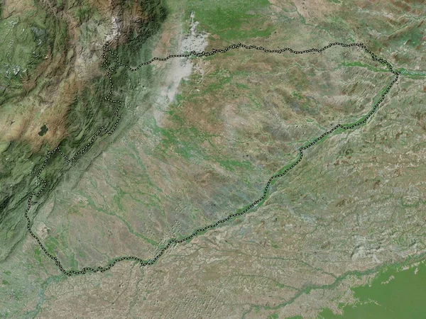
Casanare, Intendancy Of Colombia. High Resolution Satellite Map

3840 × 2880
stock image Bururi, province of Burundi. Low resolution satellite map

Bururi, Province Of Burundi. Low Resolution Satellite Map

3840 × 2880
stock image Akkar, governorate of Lebanon. High resolution satellite map

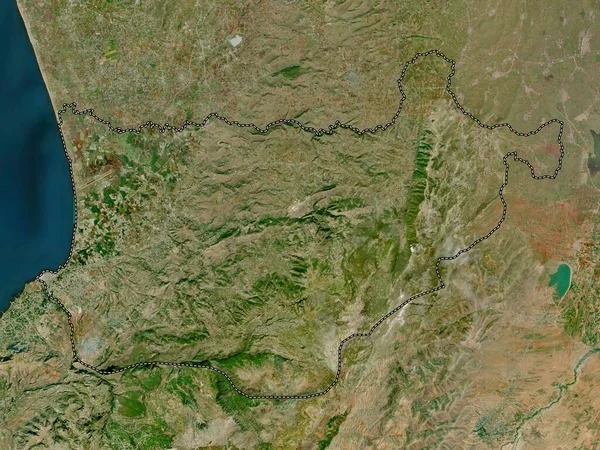
Akkar, Governorate Of Lebanon. High Resolution Satellite Map

3840 × 2880
stock image Anseba, region of Eritrea. Elevation map colored in wiki style with lakes and rivers

Anseba, Region Of Eritrea. Elevation Map Colored In Wiki Style With Lakes And Rivers

3840 × 2880
stock image Antananarivo, autonomous province of Madagascar. High resolution satellite map

Antananarivo, Autonomous Province Of Madagascar. High Resolution Satellite Map

3840 × 2880
stock image La Rioja, province of Argentina. High resolution satellite map

La Rioja, Province Of Argentina. High Resolution Satellite Map

3840 × 2880