photo free
Home Images Vectors Videos

Stock image Mansel Island in the Hudson Bay on a topographic, OSM Humanitarian style map
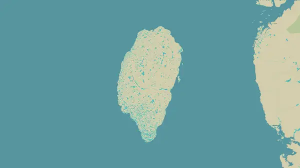
Stock image Mansel Island in the Hudson Bay on a topographic, OSM Humanitarian style map
Published: Sep.12, 2024 07:33:22
Author: zelwanka
Views: 0
Downloads: 0
File type: image / jpg
File size: 1.11 MB
Orginal size: 2880 x 1620 px
Available sizes:
S
(500 x 281)
M
(1000 x 563)
L
(2000 x 1125)
XL
(2880 x 1620)
EL0
(2880 x 1620)
Level: beginner
Download Image
Image topics:

Similar stock images

stock image Mansel Island in the Hudson Bay on a colored elevation map

Mansel Island In The Hudson Bay On A Colored Elevation Map

2880 × 1620
stock image Bathurst Island in the The Northwestern Passages on a topographic, OSM Humanitarian style map

Bathurst Island In The The Northwestern Passages On A Topographic, OSM Humanitarian Style Map

2880 × 1620
stock image Pulau Bunyu in the Celebes Sea on a colored elevation map

Pulau Bunyu In The Celebes Sea On A Colored Elevation Map

2880 × 1620
stock image Gray abstract textured background design

Gray Abstract Textured Background Design

3000 × 4199
stock image Shape of Mozambique separated by the desaturation of neighboring areas. Bilevel elevation map. 3D rendering

Shape Of Mozambique Separated By The Desaturation Of Neighboring Areas. Bilevel Elevation Map. 3D Rendering

3000 × 2000
stock image Amlia Island in the Bering Sea on a topographic, OSM Humanitarian style map

Amlia Island In The Bering Sea On A Topographic, OSM Humanitarian Style Map

2880 × 1620
stock image Arundel Island in the Solomon Sea on a topographic, OSM Humanitarian style map

Arundel Island In The Solomon Sea On A Topographic, OSM Humanitarian Style Map

2880 × 1620
stock image Gray abstract textured background design

Gray Abstract Textured Background Design

4200 × 2800