Home
Images
Vectors
Videos
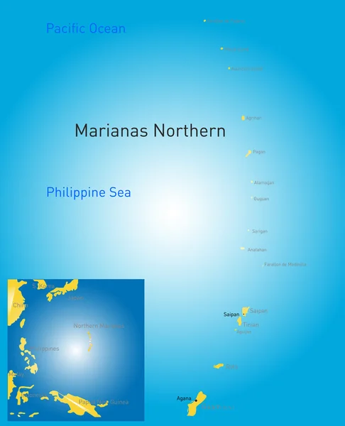
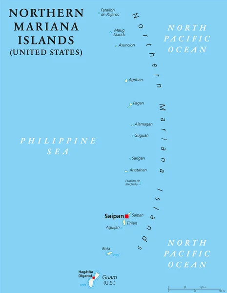
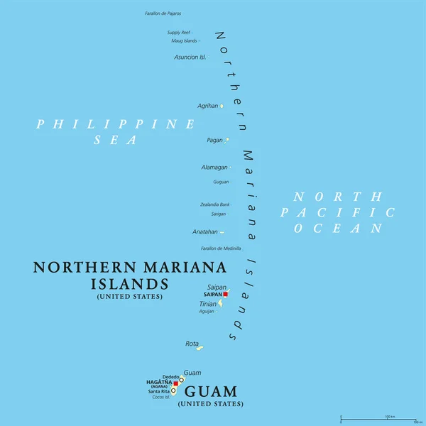
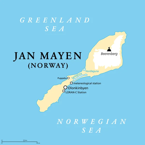
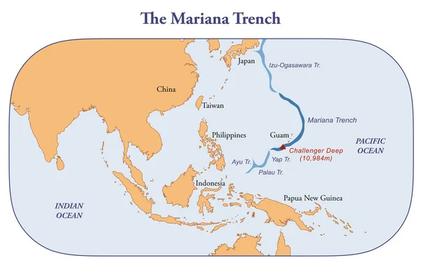
Stock image Map of the Mariana trench, deepest oceanic trench of earth
Published:
Apr.06, 2023 10:56:59
Author:
dkaramit
Views:
12
Downloads:
0
File type:
image
/
jpg
File size:
1.22 MB
Orginal size:
3200
x
2000
px
Available sizes:
S
(500 x 313)
M
(1000 x 625)
L
(2000 x 1250)
XL
(3200 x 2000)
EL0
(3200 x 2000)
Level:
beginner
Download Image
Image topics:
Illustration
Water
Plate
Sea
Education
Ocean
Point
Arc
Underwater
Western
Map
Cartography
Geography
Pacific
Geology
Location
Islands
Plates
Mantle
Deepest
Volcanic
Crescent
Trench
Guam
Papua
Philippines
Palau
Everest
Mariana
Marianas
Tectonic
Izu
Ayu
Yap
Ogasawara
Infographic
New Guinea
Bonin
Challenger Deep
Similar stock images
Northern Mariana Islands Map
5523 × 6803
Location Of The Mariana Trench On A Schematic Vector Map.
5000 × 4493
Northern Mariana Islands Political Map
6974 × 8999
Guam And Northern Mariana Islands, Political Map. Two Separate Unincorporated Territories Of The United States Of America In The Micronesia Subregion Of The Western Pacific Ocean. Illustration. Vector
6000 × 6000
Vector Map Of The Marquesas Islands, French Polynesia
3274 × 3100
Jan Mayen, Political Map. Norwegian Volcanic Island In Arctic Ocean, Between Greenland Sea And Norwegian Sea, Partly Covered With Glaciers Around Beerenberg Volcano. Largest Settlement Is Olonkinbyen.
6000 × 6000
Position Map Of The Mariana Trench In Oceania
3100 × 2957
Saint-Martin Country Political Map
8445 × 6000