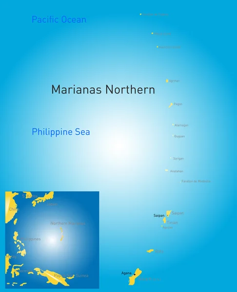
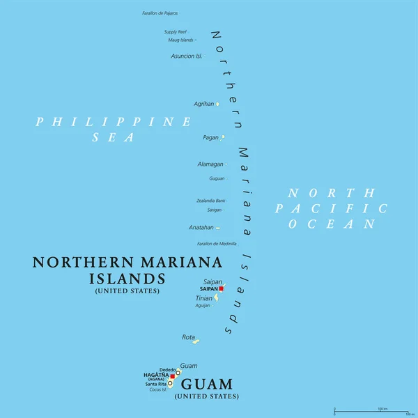
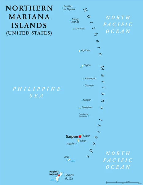
Stock vector Northern Mariana Islands political map
Published: Jul.05, 2017 10:32:58
Author: Furian
Views: 132
Downloads: 1
File type: vector / eps
File size: 2.47 MB
Orginal size: 6974 x 8999 px
Available sizes:
Level: silver