Home
Images
Vectors
Videos
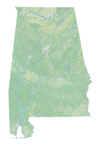
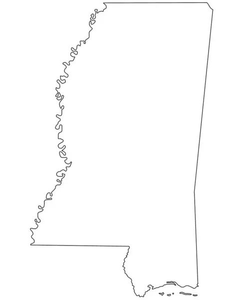
Stock image Map of the State Mississippi (United States of America) showing the isolated territory with relief representation, water bodies like seas, rivers, lakes and with borders. No labels at all.
Published:
Aug.01, 2024 07:56:02
Author:
TipTopMap
Views:
0
Downloads:
0
File type:
image
/
jpg
File size:
2.2 MB
Orginal size:
4020
x
6000
px
Available sizes:
S
(335 x 500)
M
(670 x 1000)
L
(1340 x 2000)
XL
(4020 x 6000)
EL0
(4020 x 6000)
Level:
beginner
Download Image
Image topics:
Nobody
Design
Decorative
Travel
Nature
Border
River
Creative
Earth
Planet
Ocean
Tourism
Relief
Vacation
Country
Map
Cartography
Geography
Land
Overview
Lake
State
Topography
Terrain
Political
Administrative
Region
Boundaries
Territory
Province
Topographic
Mississippi
Seafloor
Topo
No People
United States
United States Of America
Bathymetry
Natural Science
Topographic Map
Topo Map
Federal State
Digital Earth
Shaded Relief
Terrain Map
Relief Representation
Administrative Boundaries
Shaded Relief Map
Similar stock images
Shape Of Mississippi, State Of Mainland United States, With Its Capital Isolated On White Background. Satellite Imagery. 3D Rendering
2337 × 3836
Polygonal Wire Frame Mesh High Detail Raster Map Of Mississippi State Abstractions
3228 × 4957
High Resolution Topographic Map Of Alabama
4960 × 7015
Map Of Mississippi State With Borders Of The Counties And Different Colour. United State Of America, US, United State.
6734 × 8080
Mississippi Counties Outline Map Set - Illustration Version
8080 × 6060
Outline Mississippi Map Isolated On White Background. Administrative Map Of Mississippi State, United State Of America, US, United State.
6734 × 8080
Shape Of Louisiana, State Of Mainland United States, With Its Capital Isolated On White Background. Topographic Relief Map. 3D Rendering
3836 × 3308
Mississippi Counties Outline Map Set - Illustration Version
8080 × 6060