Home
Images
Vectors
Videos
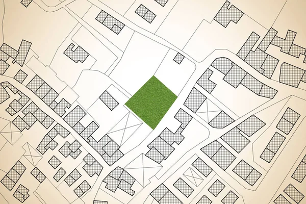
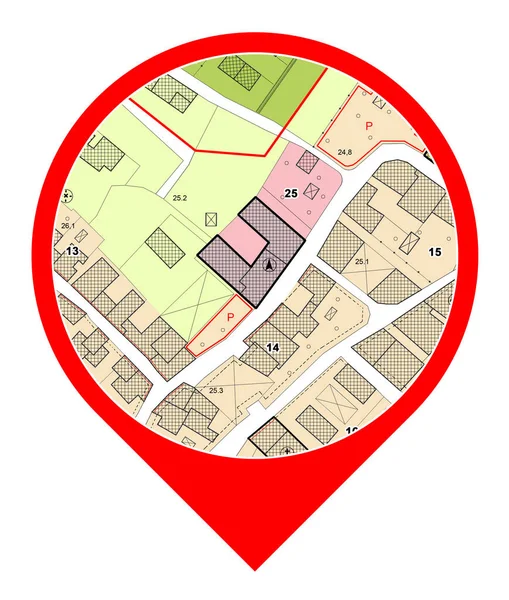
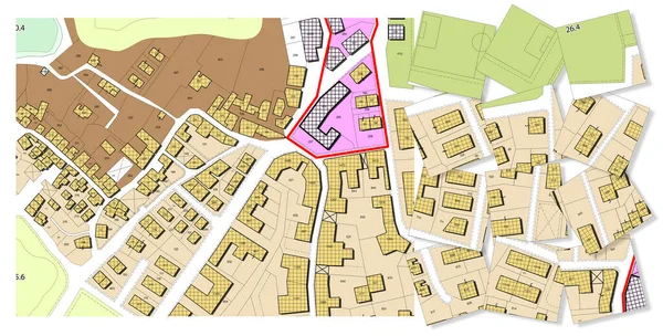
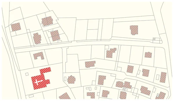
Stock image Imaginary cadastral map of territory with buildings, roads and l
Published:
Jun.19, 2019 13:39:48
Author:
Francescoscatena
Views:
74
Downloads:
3
File type:
image
/
jpg
File size:
3.79 MB
Orginal size:
4752
x
3168
px
Available sizes:
S
(500 x 333)
M
(1000 x 667)
L
(2000 x 1333)
XL
(4752 x 3168)
EL0
(4752 x 3168)
Level:
bronze
Download Image
Image topics:
Red
Illustration
Parcel
Concepts
Push
Ideas
Plastic
Road
Concept
Building
City
Button
Planning
Memo
Pin
Reminder
Street
Clip
Town
Map
Cartography
Geography
Plan
Land
Chart
Topography
Thumbtack
Pushpin
Notice
Territory
Cartographer
Pinned
Topographic
Cadastre
Residential District
Residential Building
Urban Road
Cadastral
Building Activity
Land Parcel
Cartographic Survey
Land Register
Cadastral Parcel
Cadastral Map
Cadastral Survey
Similar stock images
Land Management Concept With An Imaginary Cadastral Map Of Territory With A Vacant Land Available For Sale Or Building Constructio
3802 × 2534
Imaginary Cadastral Map Of Territory With A Free Green Land Available For Building Construction. Concept Image
4752 × 3168
Imaginary General Urban Plan - Zoning Regulations With Zoning Districts, Urban Destinations, Land Use, Buildable Areas And Land Plot - Icon Concept
3880 × 4574
3D Rendering Of Colored Work Tool Over A Cadastral Map Of Territ
5751 × 4147
Searching New Home - Concept With An Imaginary Cadastral Map Of Territory With Red Map Pin Icon
3802 × 2534
Imaginary General Urban Plan With Indications Of Urban Destinations With Buildings, Roads, Buildable Areas And Land Plot - Problems And Solutions Concept In Jigsaw Puzzle Shape
10000 × 5083
Imaginary Vector Cadastral Map With Buildings And Streets
5317 × 3100
Imaginary Vector Cadastral Map With Buildings And Streets
4000 × 3659