Home
Images
Vectors
Videos
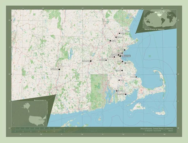
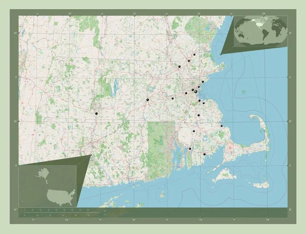
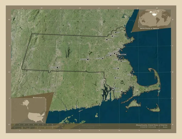
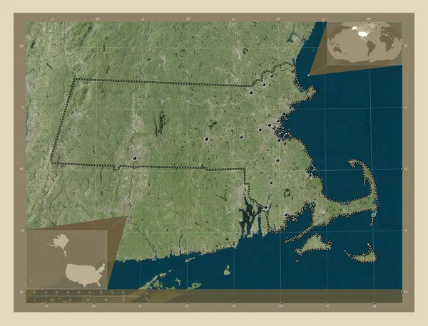
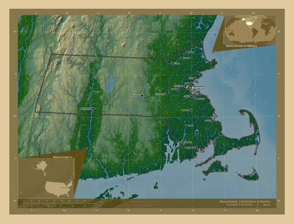
Stock image Massachusetts, state of United States of America. Open Street Map. Corner auxiliary location maps
Published:
Apr.14, 2023 12:25:48
Author:
Yarr65
Views:
0
Downloads:
0
File type:
image
/
jpg
File size:
8.26 MB
Orginal size:
4930
x
3770
px
Available sizes:
S
(500 x 382)
M
(1000 x 765)
L
(2000 x 1529)
XL
(4930 x 3770)
EL0
(4930 x 3770)
Level:
bronze
Download Image
Image topics:
Shape
Nature
Border
Contour
Earth
Planet
World
Usa
Ocean
Science
Capital
Outline
Country
Map
Geography
Continent
Land
Zoom
State
Washington
Region
Territory
Atlas
Boston
Massachusetts
Legend
Stereographic
North America
United States Of America
Administrative Division
Similar stock images
Massachusetts, State Of United States Of America. Open Street Map. Corner Auxiliary Location Maps
4930 × 3770
Massachusetts, State Of United States Of America. Open Street Map. Locations And Names Of Major Cities Of The Region. Corner Auxiliary Location Maps
4930 × 3770
Massachusetts, State Of United States Of America. Open Street Map. Locations Of Major Cities Of The Region. Corner Auxiliary Location Maps
4930 × 3770
Massachusetts, State Of United States Of America. High Resolution Satellite Map. Locations And Names Of Major Cities Of The Region. Corner Auxiliary Location Maps
4930 × 3770
Massachusetts, State Of United States Of America. High Resolution Satellite Map. Corner Auxiliary Location Maps
4930 × 3770
Massachusetts, State Of United States Of America. High Resolution Satellite Map. Locations Of Major Cities Of The Region. Corner Auxiliary Location Maps
4930 × 3770
Massachusetts, State Of United States Of America. Colored Elevation Map With Lakes And Rivers. Locations And Names Of Major Cities Of The Region. Corner Auxiliary Location Maps
4930 × 3770
Connecticut, State Of United States Of America. Elevation Map Colored In Wiki Style With Lakes And Rivers. Locations Of Major Cities Of The Region. Corner Auxiliary Location Maps
4930 × 3770