photo free
Home Images Vectors Videos

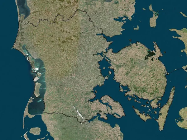
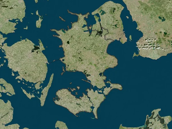
Stock image Midtjylland, region of Denmark. Low resolution satellite map

Stock image Midtjylland, region of Denmark. Low resolution satellite map
Published: Oct.04, 2022 09:37:20
Author: Yarr65
Views: 1
Downloads: 0
File type: image / jpg
File size: 7.3 MB
Orginal size: 3840 x 2880 px
Available sizes:
S
(500 x 375)
M
(1000 x 750)
L
(2000 x 1500)
XL
(3840 x 2880)
EL0
(3840 x 2880)
Level: bronze
Download Image
Image topics:

Similar stock images

stock image Midtjylland, region of Denmark. High resolution satellite map

Midtjylland, Region Of Denmark. High Resolution Satellite Map

3840 × 2880
stock image Syddanmark, region of Denmark. High resolution satellite map

Syddanmark, Region Of Denmark. High Resolution Satellite Map

3840 × 2880
stock image Syddanmark, region of Denmark. Low resolution satellite map

Syddanmark, Region Of Denmark. Low Resolution Satellite Map

3840 × 2880
stock image Shape of Denmark separated by the desaturation of neighboring areas. Borders. Satellite imagery. 3D rendering

Shape Of Denmark Separated By The Desaturation Of Neighboring Areas. Borders. Satellite Imagery. 3D Rendering

3000 × 2000
stock image Nordjylland, region of Denmark. Low resolution satellite map

Nordjylland, Region Of Denmark. Low Resolution Satellite Map

3840 × 2880
stock image Mecklenburg-Vorpommern, state of Germany. High resolution satellite map

Mecklenburg-Vorpommern, State Of Germany. High Resolution Satellite Map

3840 × 2880
stock image Nordjylland, region of Denmark. High resolution satellite map

Nordjylland, Region Of Denmark. High Resolution Satellite Map

3840 × 2880
stock image Sjlland, region of Denmark. High resolution satellite map

Sjlland, Region Of Denmark. High Resolution Satellite Map

3840 × 2880