photo free
Home Images Vectors Videos

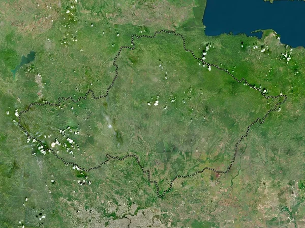
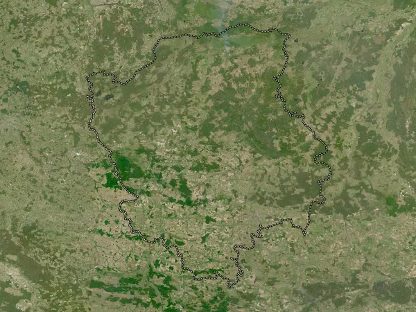
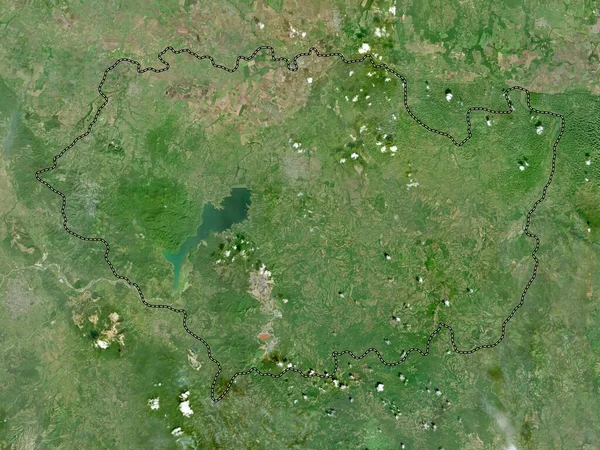
Stock image Monte Plata, province of Dominican Republic. Low resolution satellite map

Stock image Monte Plata, province of Dominican Republic. Low resolution satellite map
Published: Oct.04, 2022 11:19:07
Author: Yarr65
Views: 1
Downloads: 0
File type: image / jpg
File size: 7.74 MB
Orginal size: 3840 x 2880 px
Available sizes:
S
(500 x 375)
M
(1000 x 750)
L
(2000 x 1500)
XL
(3840 x 2880)
EL0
(3840 x 2880)
Level: bronze
Download Image
Image topics:

Similar stock images

stock image Monte Plata, province of Dominican Republic. High resolution satellite map

Monte Plata, Province Of Dominican Republic. High Resolution Satellite Map

3840 × 2880
stock image Dajabon, province of Dominican Republic. High resolution satellite map

Dajabon, Province Of Dominican Republic. High Resolution Satellite Map

3840 × 2880
stock image Zhytomyr, region of Ukraine. Low resolution satellite map

Zhytomyr, Region Of Ukraine. Low Resolution Satellite Map

3840 × 2880
stock image Namur, province of Belgium. Low resolution satellite map

Namur, Province Of Belgium. Low Resolution Satellite Map

3840 × 2880
stock image South Somerset, non metropolitan district of England - Great Britain. High resolution satellite map

South Somerset, Non Metropolitan District Of England - Great Britain. High Resolution Satellite Map

3840 × 2880
stock image Volyn, region of Ukraine. Low resolution satellite map

Volyn, Region Of Ukraine. Low Resolution Satellite Map

3840 × 2880
stock image Jasz-Nagykun-Szolnok, county of Hungary. High resolution satellite map

Jasz-Nagykun-Szolnok, County Of Hungary. High Resolution Satellite Map

3840 × 2880
stock image Sanchez Ramirez, province of Dominican Republic. High resolution satellite map

Sanchez Ramirez, Province Of Dominican Republic. High Resolution Satellite Map

3840 × 2880