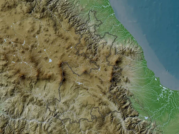
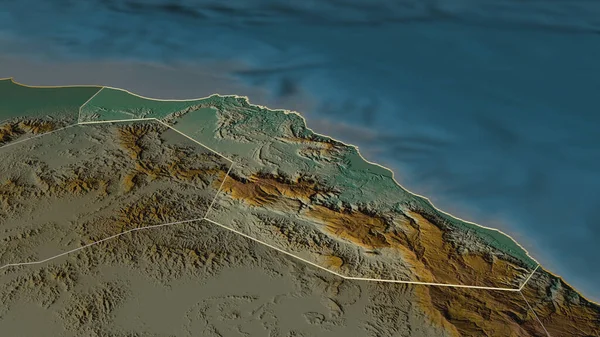
Stock image Muscat, province of Oman. Elevation map colored in wiki style with lakes and rivers

Published: Nov.02, 2022 14:53:55
Author: Yarr65
Views: 3
Downloads: 0
File type: image / jpg
File size: 7.54 MB
Orginal size: 3840 x 2880 px
Available sizes:
Level: bronze
Similar stock images

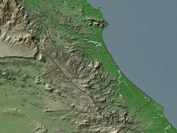
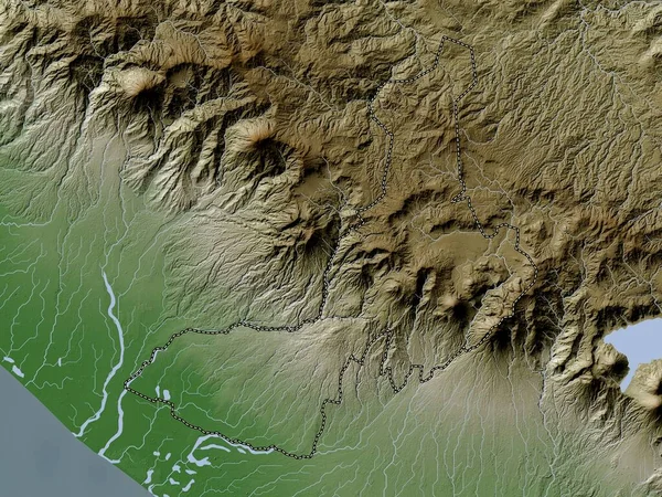
Quang Binh, Province Of Vietnam. Elevation Map Colored In Wiki Style With Lakes And Rivers
3840 × 2880
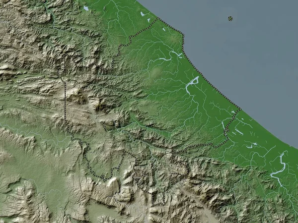
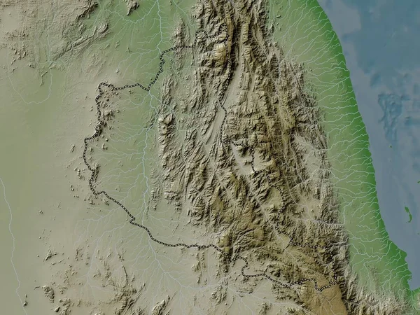
Quang Tri, Province Of Vietnam. Elevation Map Colored In Wiki Style With Lakes And Rivers
3840 × 2880