Home
Images
Vectors
Videos
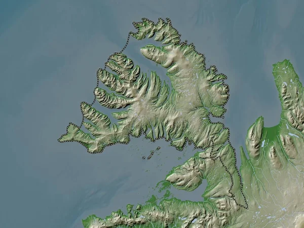
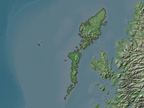
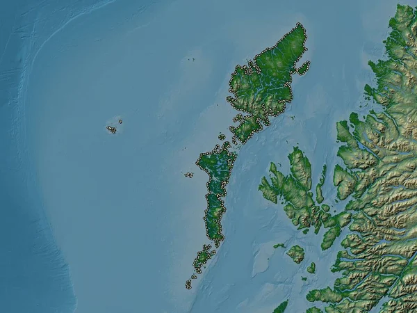
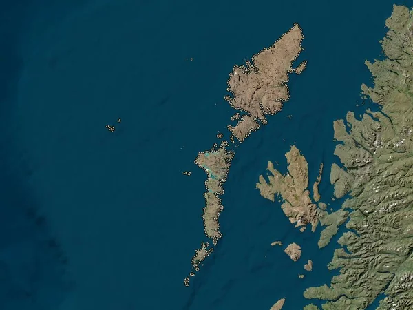
Stock image Na h-Eileanan Siar, region of Scotland - Great Britain. Elevation map colored in wiki style with lakes and rivers
Published:
Apr.21, 2023 13:52:04
Author:
Yarr65
Views:
0
Downloads:
0
File type:
image
/
jpg
File size:
4.8 MB
Orginal size:
3840
x
2880
px
Available sizes:
S
(500 x 375)
M
(1000 x 750)
L
(2000 x 1500)
XL
(3840 x 2880)
EL0
(3840 x 2880)
Level:
bronze
Download Image
Image topics:
Shape
Nature
Border
Contour
Earth
Planet
World
Ocean
Science
Capital
Europe
Outline
Country
Map
Geography
Continent
Land
Zoom
Region
Territory
Atlas
Legend
Edinburgh
Stereographic
Stornoway
GBR
Barabhas
Carlabhagh
Administrative Division
Na H Eileanan Siar
Siabost
Bhaltos
Dun Charlabhaigh
Scotland Great Britain
Roghadal
An T Acha Mor
Reinigeadal
Riof
Loch Nam Madadh
Am Margaidh Ur
Srannda
Sanndabhaig
An Tairbeart
Similar stock images
Na H-Eileanan Siar, Region Of Scotland - Great Britain. Colored Elevation Map With Lakes And Rivers
3840 × 2880
Na H-Eileanan Siar, Region Of Scotland - Great Britain. High Resolution Satellite Map
3840 × 2880
Na H-Eileanan Siar, Region Of Scotland - Great Britain. Low Resolution Satellite Map
3840 × 2880
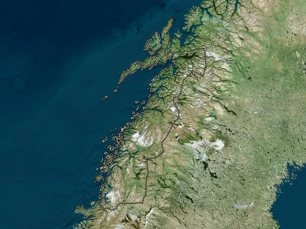
Argyll And Bute, Region Of Scotland - Great Britain. Colored Elevation Map With Lakes And Rivers
3840 × 2880
Vestfirir, Region Of Iceland. Elevation Map Colored In Wiki Style With Lakes And Rivers
3840 × 2880
Nordland, County Of Norway. High Resolution Satellite Map
3840 × 2880
Mre Og Romsdal, County Of Norway. Elevation Map Colored In Wiki Style With Lakes And Rivers
3840 × 2880
Nordland, County Of Norway. Colored Elevation Map With Lakes And Rivers
3840 × 2880