
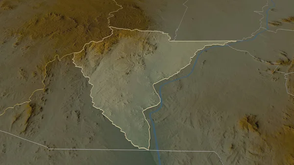
Stock image Neno - district of Malawi zoomed and highlighted. Main physical landscape features. 3D rendering

Published: Aug.05, 2020 15:05:07
Author: Yarr65
Views: 0
Downloads: 0
File type: image / jpg
File size: 3.9 MB
Orginal size: 2880 x 1620 px
Available sizes:
Level: bronze
Similar stock images
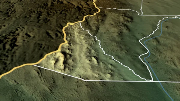
Mwanza - District Of Malawi Zoomed And Highlighted. Main Physical Landscape Features. 3D Rendering
2880 × 1620


North Darfur - State Of Sudan Zoomed And Highlighted. Main Physical Landscape Features. 3D Rendering
2880 × 1620

Balaka - District Of Malawi Zoomed And Highlighted. Main Physical Landscape Features. 3D Rendering
2880 × 1620

Chiradzulu - District Of Malawi Zoomed And Highlighted. Main Physical Landscape Features. 3D Rendering
2880 × 1620

