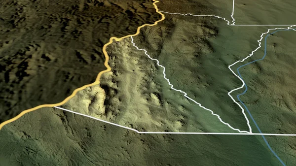
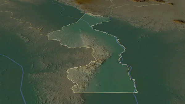
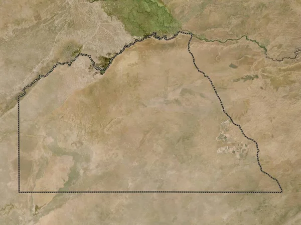
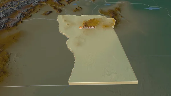
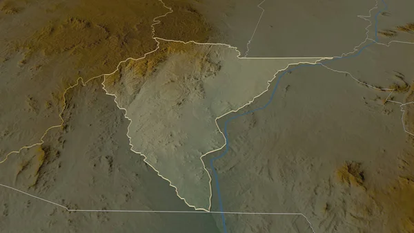
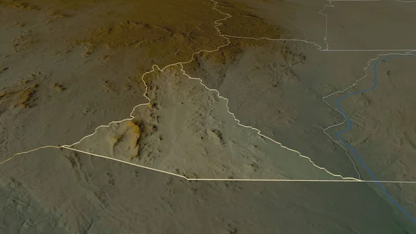
Stock image Zoom in on Neno (district of Malawi) outlined. Oblique perspective. Topographic relief map with surface waters. 3D rendering
Published: Jul.10, 2020 15:45:57
Author: Yarr65
Views: 1
Downloads: 0
File type: image / jpg
File size: 2.01 MB
Orginal size: 3840 x 2160 px
Available sizes:
Level: bronze
Similar stock images

Neno - District Of Malawi Zoomed And Highlighted. Main Physical Landscape Features. 3D Rendering
2880 × 1620