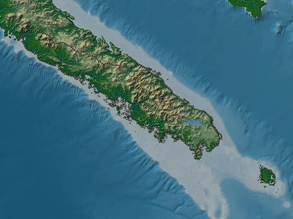
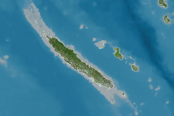
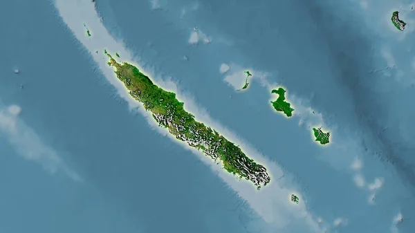
Stock image New Caledonia outlined on a Pale colored elevation map with lakes and rivers

Published: Feb.14, 2024 10:30:06
Author: zelwanka
Views: 3
Downloads: 2
File type: image / jpg
File size: 2.25 MB
Orginal size: 2688 x 1512 px
Available sizes:
Level: beginner