Home
Images
Vectors
Videos
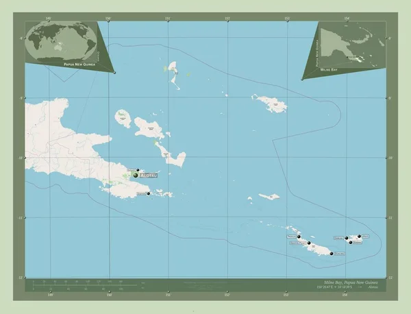
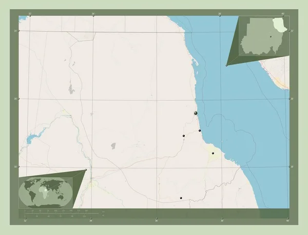
Stock image Nickerie, district of Suriname. Open Street Map. Locations of major cities of the region. Corner auxiliary location maps
Published:
Feb.24, 2023 13:30:03
Author:
Yarr65
Views:
0
Downloads:
0
File type:
image
/
jpg
File size:
1.98 MB
Orginal size:
4930
x
3770
px
Available sizes:
S
(500 x 382)
M
(1000 x 765)
L
(2000 x 1529)
XL
(4930 x 3770)
EL0
(4930 x 3770)
Level:
bronze
Download Image
Image topics:
Shape
Nature
Border
Contour
Earth
Planet
World
Ocean
Science
Capital
Outline
Country
District
Map
Geography
Continent
Land
Zoom
Region
Territory
Atlas
Legend
Suriname
Sur
Paramaribo
Stereographic
South America
Wageningen
Nickerie
Wakai
Nieuw Nickerie
Administrative Division
Europolder
Middenstandpolder
Klein Henarpolder
Hamptoncourt
Groot Henar
Similar stock images
Misiones, Department Of Paraguay. Open Street Map. Locations Of Major Cities Of The Region. Corner Auxiliary Location Maps
4930 × 3770
West Darfur, State Of Sudan. Open Street Map. Corner Auxiliary Location Maps
4930 × 3770
Bari, Region Of Somalia Mainland. Open Street Map. Corner Auxiliary Location Maps
4930 × 3770
Milne Bay, Province Of Papua New Guinea. Open Street Map. Locations And Names Of Major Cities Of The Region. Corner Auxiliary Location Maps
4930 × 3770
Misiones, Department Of Paraguay. Elevation Map Colored In Sepia Tones With Lakes And Rivers. Locations Of Major Cities Of The Region. Corner Auxiliary Location Maps
4930 × 3770
Coronie, District Of Suriname. Open Street Map. Corner Auxiliary Location Maps
4930 × 3770
Red Sea, State Of Sudan. Open Street Map. Locations Of Major Cities Of The Region. Corner Auxiliary Location Maps
4930 × 3770