Home
Images
Vectors
Videos
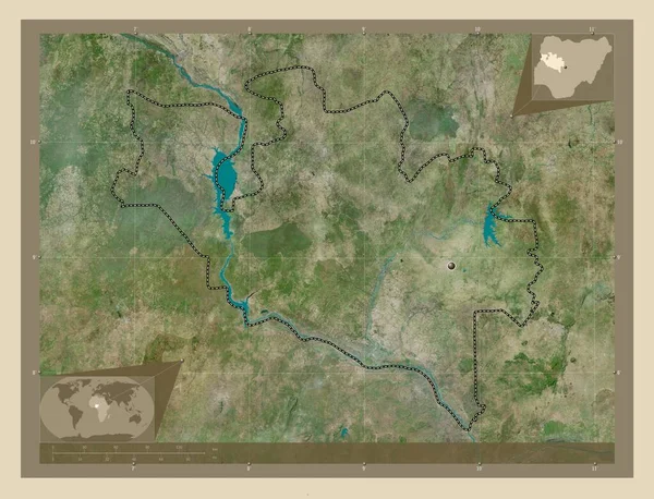
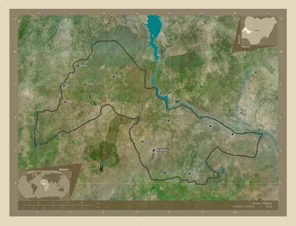
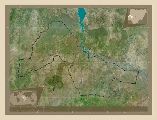
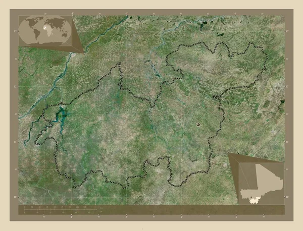
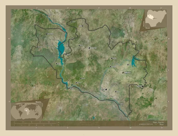
Stock image Niger, state of Nigeria. High resolution satellite map. Locations and names of major cities of the region. Corner auxiliary location maps
Published:
Nov.02, 2022 14:20:39
Author:
Yarr65
Views:
4
Downloads:
1
File type:
image
/
jpg
File size:
11.98 MB
Orginal size:
4930
x
3770
px
Available sizes:
S
(500 x 382)
M
(1000 x 765)
L
(2000 x 1529)
XL
(4930 x 3770)
EL0
(4930 x 3770)
Level:
bronze
Download Image
Image topics:
Shape
Nature
Border
Contour
Earth
Planet
World
Ocean
Science
Capital
Outline
Country
Map
Geography
Africa
Continent
Land
Zoom
State
Region
Territory
Atlas
Legend
Nigeria
Abuja
Niger
Gummi
Nga
Stereographic
Maru
Anka
Minna
Sauri
Administrative Division
Talata Mafara
Dan Sadau
Moriki
Tsafe
Kaura Namoda
Shinkafi
Similar stock images
Niger, State Of Nigeria. High Resolution Satellite Map. Corner Auxiliary Location Maps
4930 × 3770
Niger, State Of Nigeria. High Resolution Satellite Map. Locations Of Major Cities Of The Region. Corner Auxiliary Location Maps
4930 × 3770
Sikasso, Region Of Mali. High Resolution Satellite Map. Locations Of Major Cities Of The Region. Corner Auxiliary Location Maps
4930 × 3770
Kwara, State Of Nigeria. High Resolution Satellite Map. Locations And Names Of Major Cities Of The Region. Corner Auxiliary Location Maps
4930 × 3770
Kracheh, Province Of Cambodia. High Resolution Satellite Map. Locations And Names Of Major Cities Of The Region. Corner Auxiliary Location Maps
4930 × 3770
Kwara, State Of Nigeria. High Resolution Satellite Map. Corner Auxiliary Location Maps
4930 × 3770
Sikasso, Region Of Mali. High Resolution Satellite Map. Corner Auxiliary Location Maps
4930 × 3770
Logone Occidental, Region Of Chad. High Resolution Satellite Map. Locations And Names Of Major Cities Of The Region. Corner Auxiliary Location Maps
4930 × 3770