Home
Images
Vectors
Videos
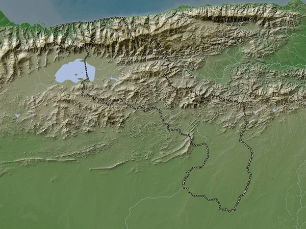
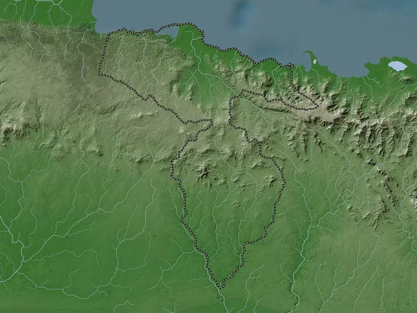
Stock image Nord-Est, department of Haiti. Elevation map colored in wiki style with lakes and rivers
Published:
Oct.04, 2022 10:14:21
Author:
Yarr65
Views:
1
Downloads:
0
File type:
image
/
jpg
File size:
8.02 MB
Orginal size:
3840
x
2880
px
Available sizes:
S
(500 x 375)
M
(1000 x 750)
L
(2000 x 1500)
XL
(3840 x 2880)
EL0
(3840 x 2880)
Level:
bronze
Download Image
Image topics:
Shape
Nature
Border
Contour
Earth
Planet
World
Ocean
Science
Capital
Outline
Country
Map
Geography
Continent
Land
Zoom
Department
Region
Territory
Atlas
Legend
Haiti
Port Au Prince
Marigot
Stereographic
North America
Nord Est
Hti
Administrative Division
Fort Liberte
Anse A Pitre
Thiotte
Kotdefe
Cayes Jacmel
Belle Anse
Similar stock images
Nord-Est, Department Of Haiti. Colored Elevation Map With Lakes And Rivers
3840 × 2880
Thai Nguyen, Province Of Vietnam. Colored Elevation Map With Lakes And Rivers
3840 × 2880
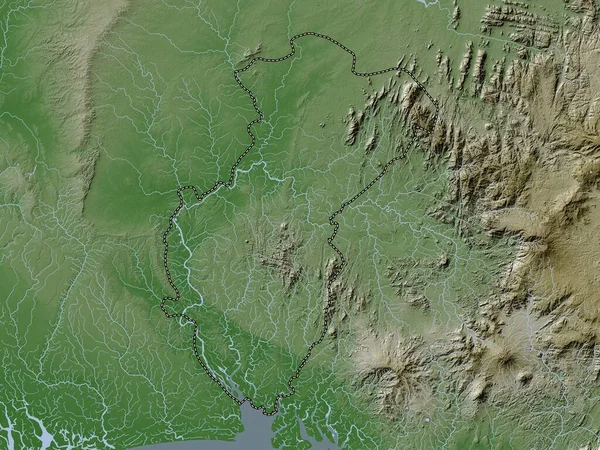
Hato Mayor, Province Of Dominican Republic. Elevation Map Colored In Wiki Style With Lakes And Rivers
3840 × 2880
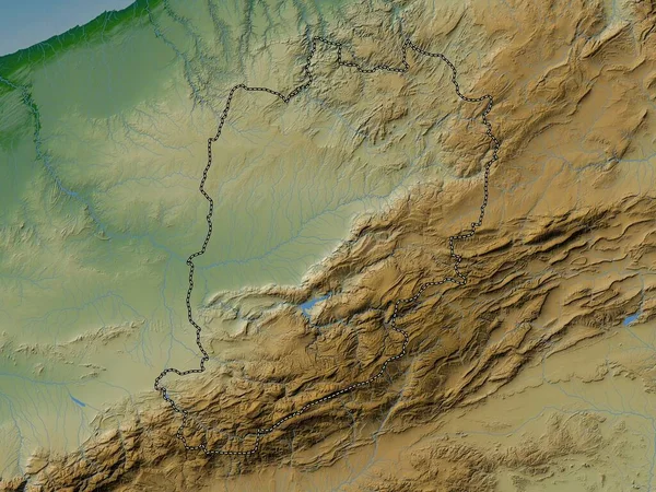
Cordoba, Department Of Colombia. Elevation Map Colored In Wiki Style With Lakes And Rivers
3840 × 2880
Guarico, State Of Venezuela. Elevation Map Colored In Wiki Style With Lakes And Rivers
3840 × 2880
Cross River, State Of Nigeria. Elevation Map Colored In Wiki Style With Lakes And Rivers
3840 × 2880
Aragua, State Of Venezuela. Elevation Map Colored In Wiki Style With Lakes And Rivers
3840 × 2880
Beni Mellal-Khenifra, Region Of Morocco. Colored Elevation Map With Lakes And Rivers
3840 × 2880