Home
Images
Vectors
Videos
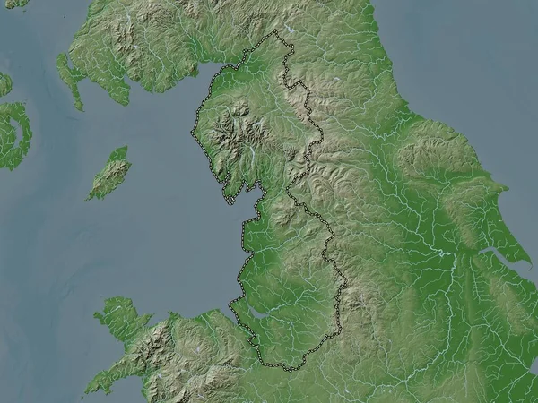
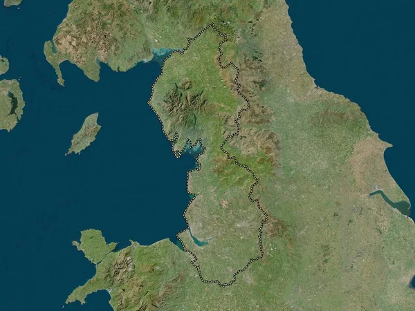
Stock image North West, region of United Kingdom. Elevation map colored in wiki style with lakes and rivers
Published:
Apr.21, 2023 13:04:16
Author:
Yarr65
Views:
3
Downloads:
0
File type:
image
/
jpg
File size:
6.49 MB
Orginal size:
3840
x
2880
px
Available sizes:
S
(500 x 375)
M
(1000 x 750)
L
(2000 x 1500)
XL
(3840 x 2880)
EL0
(3840 x 2880)
Level:
bronze
Download Image
Image topics:
Shape
Nature
Border
Contour
Earth
Planet
World
Ocean
Science
Capital
Europe
Outline
Country
Map
Geography
Continent
Land
Zoom
London
Region
Territory
Atlas
Bury
Chester
Legend
Liverpool
Manchester
Blackburn
Southport
Crewe
Bolton
Stereographic
Preston
Blackpool
Runcorn
Macclesfield
Wigan
GBR
United Kingdom
North West
Carlisle
Stockport
Oldham
St Helens
Warrington
Barrow In Furness
Burnley
Altrincham
Administrative Division
Similar stock images
North West, Region Of United Kingdom. Colored Elevation Map With Lakes And Rivers
3840 × 2880
North West, Region Of United Kingdom. Low Resolution Satellite Map
3840 × 2880
North West, Region Of United Kingdom. High Resolution Satellite Map
3840 × 2880
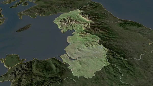
North West - Region Of United Kingdom Zoomed And Highlighted. Satellite Imagery. 3D Rendering
2880 × 1620
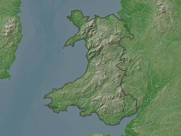
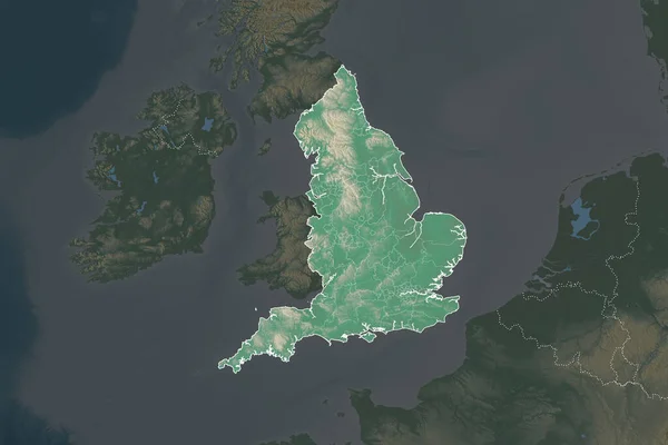
Wales, Region Of United Kingdom. Elevation Map Colored In Wiki Style With Lakes And Rivers
3840 × 2880
Shape Of England Separated By The Desaturation Of Neighboring Areas. Borders. Topographic Relief Map. 3D Rendering
3000 × 2000
United Kingdom Extruded On The Physical Orthographic Map. Capital, Administrative Borders And Graticule
3840 × 2160
South West, Region Of United Kingdom. Elevation Map Colored In Wiki Style With Lakes And Rivers
3840 × 2880