Home
Images
Vectors
Videos
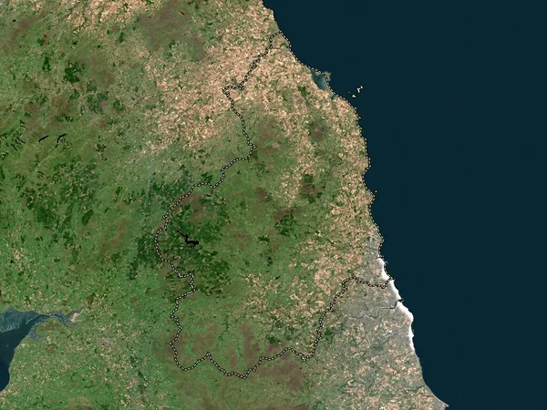
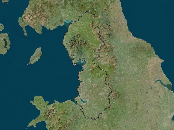
Stock image Northumberland, administrative county of England - Great Britain. High resolution satellite map
Published:
Apr.21, 2023 15:05:27
Author:
Yarr65
Views:
2
Downloads:
0
File type:
image
/
jpg
File size:
7.43 MB
Orginal size:
3840
x
2880
px
Available sizes:
S
(500 x 375)
M
(1000 x 750)
L
(2000 x 1500)
XL
(3840 x 2880)
EL0
(3840 x 2880)
Level:
bronze
Download Image
Image topics:
Shape
Nature
Border
Contour
Earth
Planet
World
Ocean
Science
Capital
Europe
Outline
Country
Map
Geography
Continent
Land
Zoom
London
Region
Territory
Atlas
Legend
Northumberland
Alnwick
Amble
Stereographic
Blyth
GBR
Bedlington
Berwick Upon Tweed
Hexham
Prudhoe
Morpeth
Ashington
Administrative Division
Ponteland
Administrative County
England Great Britain
Seaton Delaval
Similar stock images
Northumberland, Administrative County Of England - Great Britain. Low Resolution Satellite Map
3840 × 2880
Fife, Region Of Scotland - Great Britain. High Resolution Satellite Map
3840 × 2880
Northumberland, Administrative County Of England - Great Britain. Open Street Map
3840 × 2880
Kildare, County Of Ireland. High Resolution Satellite Map
3840 × 2880
North West, Region Of United Kingdom. High Resolution Satellite Map
3840 × 2880
North West, Region Of United Kingdom. Low Resolution Satellite Map
3840 × 2880
North East, Region Of United Kingdom. Open Street Map
3840 × 2880
Lincolnshire, Administrative County Of England - Great Britain. High Resolution Satellite Map
3840 × 2880