Home
Images
Vectors
Videos
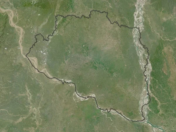
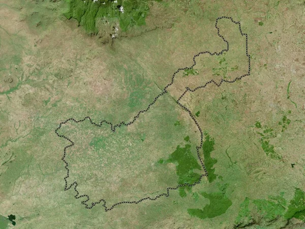
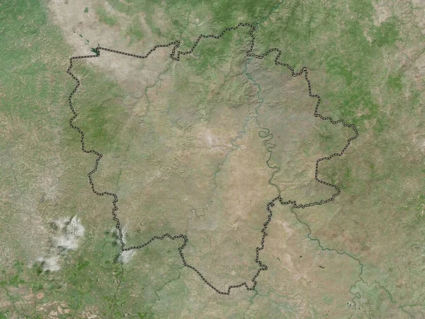
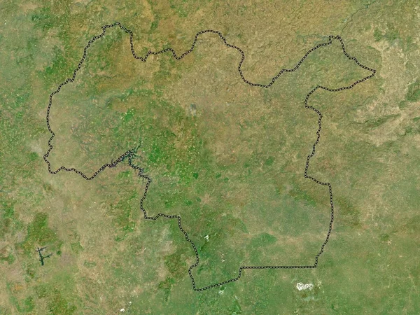
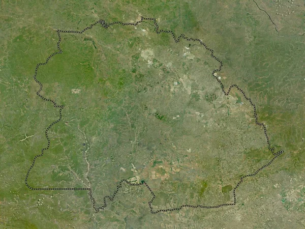
Stock image Ombella-M'Poko, prefecture of Central African Republic. High resolution satellite map
Published:
Sep.28, 2022 10:54:27
Author:
Yarr65
Views:
2
Downloads:
0
File type:
image
/
jpg
File size:
9.43 MB
Orginal size:
3840
x
2880
px
Available sizes:
S
(500 x 375)
M
(1000 x 750)
L
(2000 x 1500)
XL
(3840 x 2880)
EL0
(3840 x 2880)
Level:
bronze
Download Image
Image topics:
Shape
Nature
Border
Contour
Earth
Planet
World
Ocean
Science
Capital
Outline
Country
Map
Geography
Africa
Continent
Land
Zoom
Region
Prefecture
Territory
Atlas
Legend
Caf
Bangui
Bimbo
Stereographic
CENTRAL AFRICAN REPUBLIC
Administrative Division
Similar stock images
Rajshahi, Division Of Bangladesh. Low Resolution Satellite Map
3840 × 2880
Kakamega, County Of Kenya. High Resolution Satellite Map
3840 × 2880
Kasai-Oriental, Province Of Democratic Republic Of The Congo. High Resolution Satellite Map
3840 × 2880
Mamou, Region Of Guinea. High Resolution Satellite Map
3840 × 2880
Copperbelt, Province Of Zambia. High Resolution Satellite Map
3840 × 2880
North East, Region Of Ghana. High Resolution Satellite Map
3840 × 2880
Kankan, Region Of Guinea. High Resolution Satellite Map
3840 × 2880
Kasai-Oriental, Province Of Democratic Republic Of The Congo. Low Resolution Satellite Map
3840 × 2880