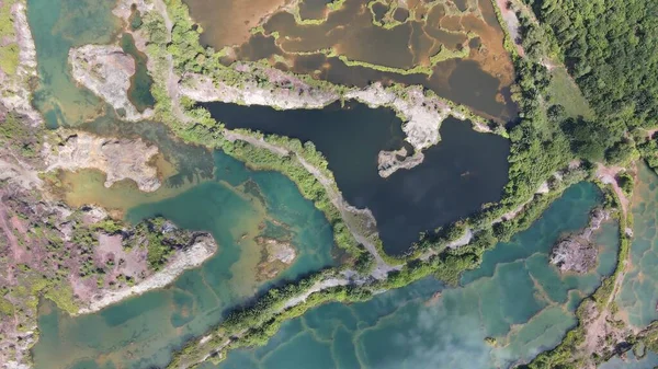
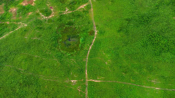
Stock image Orthorectified Drone Aerial Map Used In Photogrammetr
Published: Apr.23, 2018 10:44:35
Author: ammmit
Views: 87
Downloads: 7
File type: image / jpg
File size: 9.91 MB
Orginal size: 6200 x 5096 px
Available sizes:
Level: bronze
Similar stock images
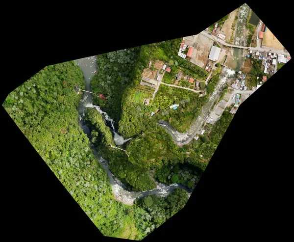

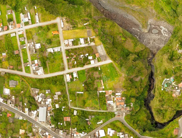
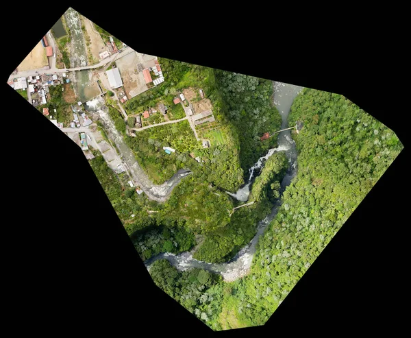
San Martin Canyon Banos De Agua Santa Orthorectified Drone Aerial Map Used For Photogrammetry
5000 × 3812