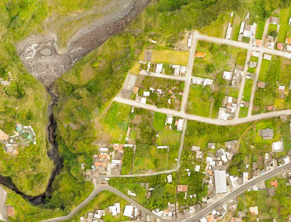
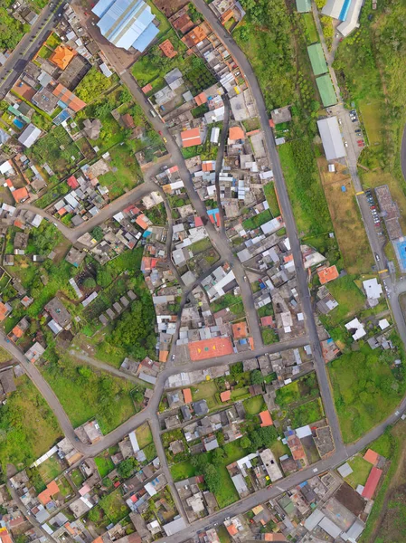
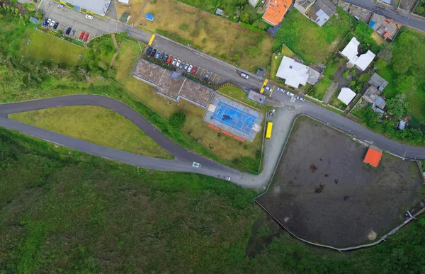
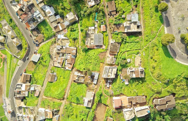
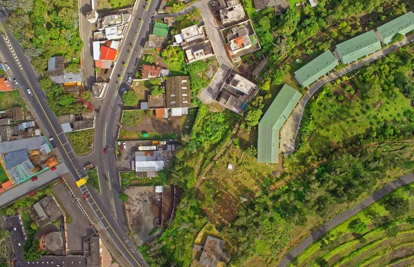
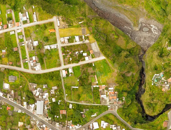
Stock image San Martin Canyon Banos De Agua Santa Orthorectified Drone Aerial Map Used For Photogrammetry
Published: May.25, 2020 14:35:02
Author: ammmit
Views: 3
Downloads: 2
File type: image / jpg
File size: 19.66 MB
Orginal size: 5000 x 3812 px
Available sizes:
Level: bronze