Home
Images
Vectors
Videos
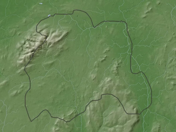
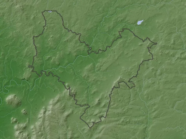
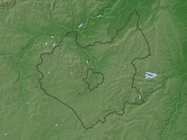
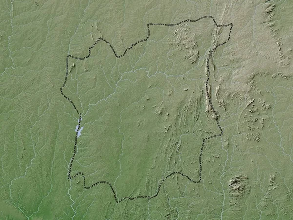
Stock image Osun, state of Nigeria. Elevation map colored in wiki style with lakes and rivers
Published:
Nov.02, 2022 14:39:32
Author:
Yarr65
Views:
2
Downloads:
0
File type:
image
/
jpg
File size:
7.83 MB
Orginal size:
3840
x
2880
px
Available sizes:
S
(500 x 375)
M
(1000 x 750)
L
(2000 x 1500)
XL
(3840 x 2880)
EL0
(3840 x 2880)
Level:
bronze
Download Image
Image topics:
Shape
Nature
Border
Contour
Earth
Planet
World
Ocean
Science
Capital
Outline
Country
Map
Geography
Africa
Continent
Land
Zoom
State
Region
Territory
Atlas
Legend
Nigeria
Abuja
Gummi
Nga
Stereographic
Maru
Anka
Sauri
Administrative Division
Osun
Osogbo
Talata Mafara
Dan Sadau
Moriki
Tsafe
Kaura Namoda
Shinkafi
Similar stock images
Ahafo, Region Of Ghana. Elevation Map Colored In Wiki Style With Lakes And Rivers
3840 × 2880
Osun, State Of Nigeria. Colored Elevation Map With Lakes And Rivers
3840 × 2880
Brabant Wallon, Province Of Belgium. Elevation Map Colored In Wiki Style With Lakes And Rivers
3840 × 2880
Uttlesford, Non Metropolitan District Of England - Great Britain. Elevation Map Colored In Wiki Style With Lakes And Rivers
3840 × 2880
Melton, Non Metropolitan District Of England - Great Britain. Elevation Map Colored In Wiki Style With Lakes And Rivers
3840 × 2880
Laoighis, County Of Ireland. Elevation Map Colored In Wiki Style With Lakes And Rivers
3840 × 2880
Stratford-on-Avon, Non Metropolitan District Of England - Great Britain. Elevation Map Colored In Wiki Style With Lakes And Rivers
3840 × 2880
Leicestershire, Administrative County Of England - Great Britain. Elevation Map Colored In Wiki Style With Lakes And Rivers
3840 × 2880