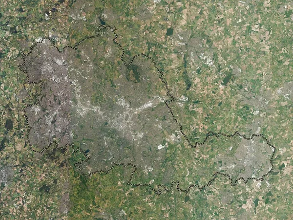
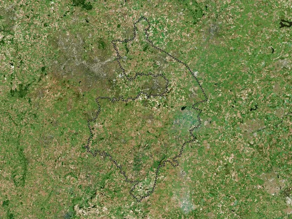
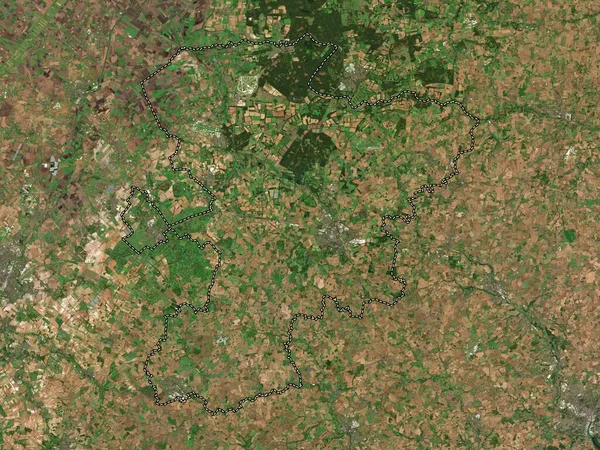
Stock image Oxfordshire, administrative county of England - Great Britain. Low resolution satellite map
Published: Apr.21, 2023 15:06:46
Author: Yarr65
Views: 0
Downloads: 0
File type: image / jpg
File size: 10.53 MB
Orginal size: 3840 x 2880 px
Available sizes:
Level: bronze
Similar stock images
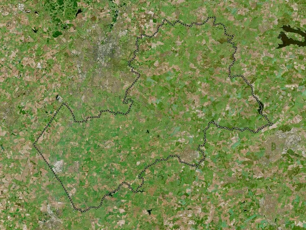
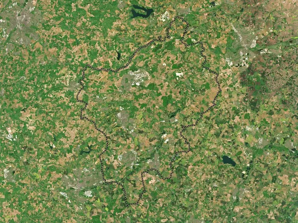
Buckinghamshire, Administrative County Of England - Great Britain. Low Resolution Satellite Map
3840 × 2880
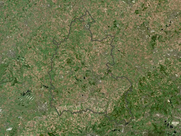
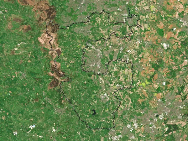
Warwickshire, Administrative County Of England - Great Britain. High Resolution Satellite Map
3840 × 2880
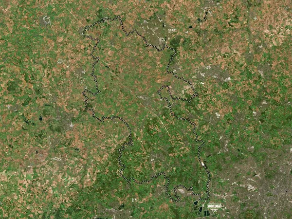
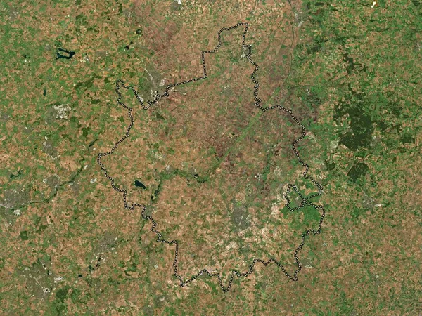
North Northamptonshire, Unitary Authority Of England - Great Britain. Low Resolution Satellite Map
3840 × 2880
North East Derbyshire, Non Metropolitan District Of England - Great Britain. Low Resolution Satellite Map
3840 × 2880
Cambridgeshire, Administrative County Of England - Great Britain. Low Resolution Satellite Map
3840 × 2880
West Suffolk, Non Metropolitan District Of England - Great Britain. Low Resolution Satellite Map
3840 × 2880