Home
Images
Vectors
Videos
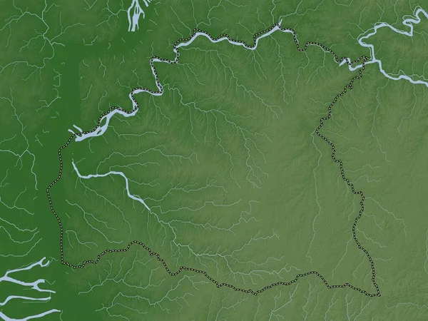
Stock image Paysandu, department of Uruguay. Elevation map colored in wiki style with lakes and rivers
Published:
Apr.14, 2023 12:35:54
Author:
Yarr65
Views:
0
Downloads:
0
File type:
image
/
jpg
File size:
7.05 MB
Orginal size:
3840
x
2880
px
Available sizes:
S
(500 x 375)
M
(1000 x 750)
L
(2000 x 1500)
XL
(3840 x 2880)
EL0
(3840 x 2880)
Level:
bronze
Download Image
Image topics:
Shape
Nature
Border
Contour
Earth
Planet
World
Ocean
Science
Capital
Outline
Country
Map
Geography
Continent
Land
Zoom
Department
Region
Territory
Atlas
Legend
URUGUAY
Montevideo
Stereographic
South America
Porvenir
Tambores
Quebracho
Paysandu
San Felix
Ury
Administrative Division
Guichon
Piedras Coloradas
Nuevo Paysandu
Chacras De Paysandu
Similar stock images
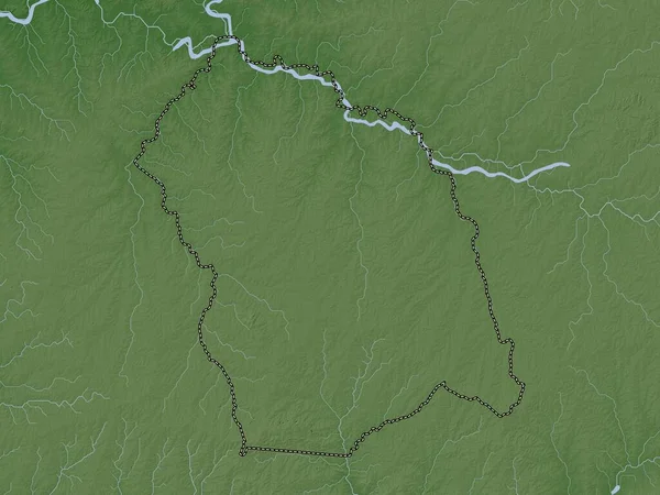
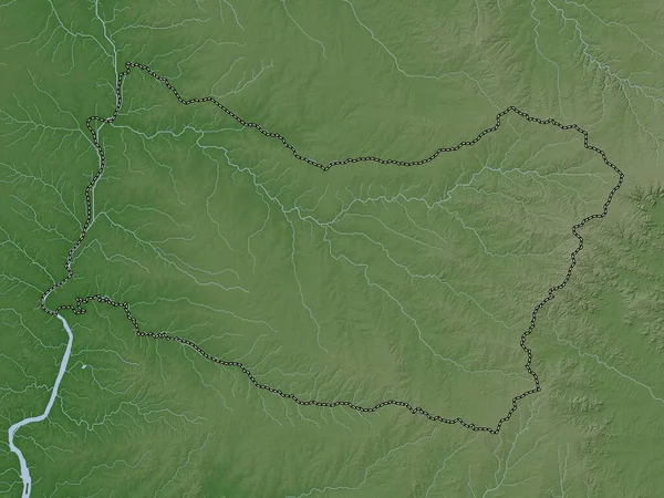
Artigas, Department Of Uruguay. Elevation Map Colored In Wiki Style With Lakes And Rivers
3840 × 2880
Salto, Department Of Uruguay. Elevation Map Colored In Wiki Style With Lakes And Rivers
3840 × 2880
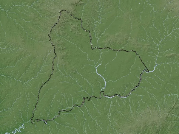
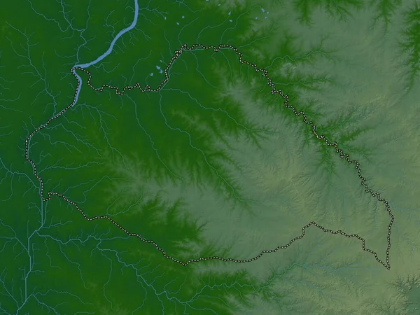
Tacuarembo, Department Of Uruguay. Elevation Map Colored In Wiki Style With Lakes And Rivers
3840 × 2880
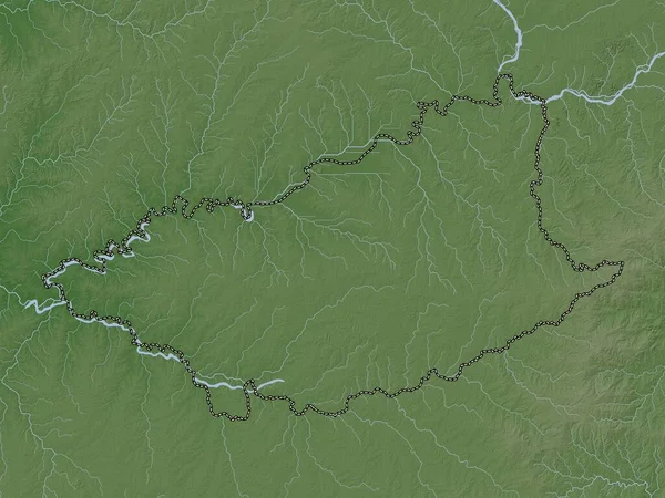
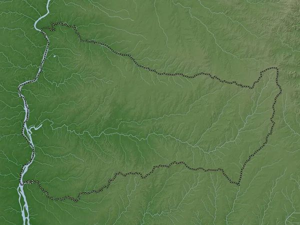
Durazno, Department Of Uruguay. Elevation Map Colored In Wiki Style With Lakes And Rivers
3840 × 2880
Anambra, State Of Nigeria. Elevation Map Colored In Wiki Style With Lakes And Rivers
3840 × 2880
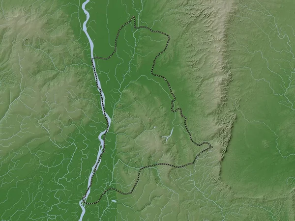
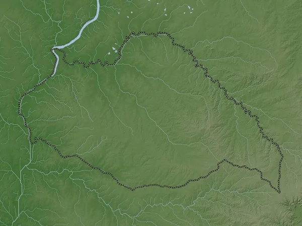
Soriano, Department Of Uruguay. Elevation Map Colored In Wiki Style With Lakes And Rivers
3840 × 2880
Flores, Department Of Uruguay. Elevation Map Colored In Wiki Style With Lakes And Rivers
3840 × 2880
Artigas, Department Of Uruguay. Colored Elevation Map With Lakes And Rivers
3840 × 2880