
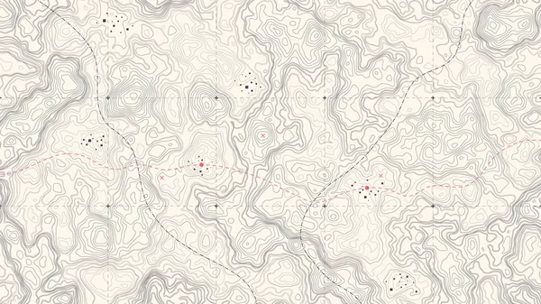
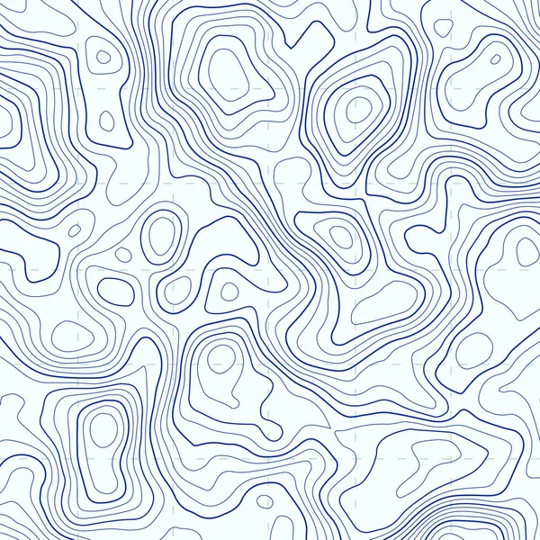
Stock image Land Topography


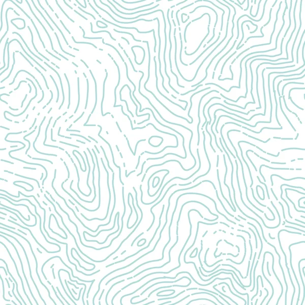
Topographic Map. Trail Mapping Grid, Contour Terrain Relief Line Texture. Cartography Concept
Vector, 1.58MB, 5701 × 4385 eps


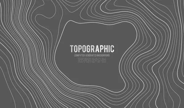
Topographic Map Background Concept With Space For Your Copy. Topography Lines Art Contour , Mountain Hiking Trail , Shape Vector Design. Computer Generated .
Vector, 2.8MB, 8406 × 5000 eps
Map Of The Topography Line. Vector Abstract Topographic Map Concepts With Perspective For Your Copy. Mountain Tourism
Vector, 2.73MB, 8192 × 4779 eps

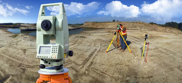
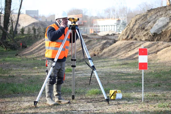
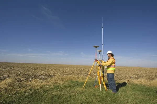
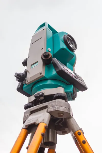
Surveyor Engineering Equipment With Theodolite And Total Station In A Garden
Image, 23.51MB, 7952 × 5304 jpg
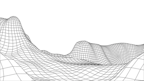
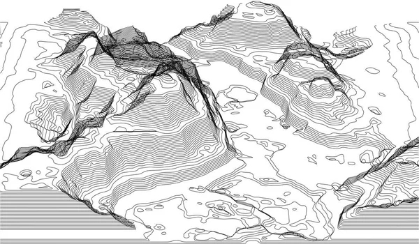
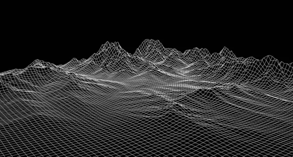
Abstract Wireframe Landscape Background. Cyberspace Grid. 3d Technology Illustration. Digital For Presentations .
Image, 4.65MB, 8869 × 4994 jpg

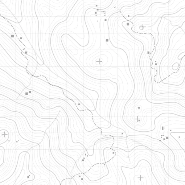
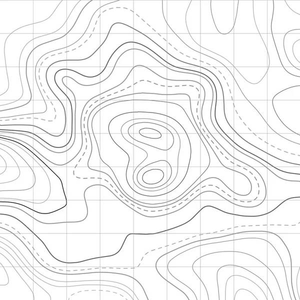
Topographic Map Lines, Earth Relief, Contour Background. Geographic Grid, Elevation Map, Vector Abstract.
Vector, 0.86MB, 4167 × 4167 ai
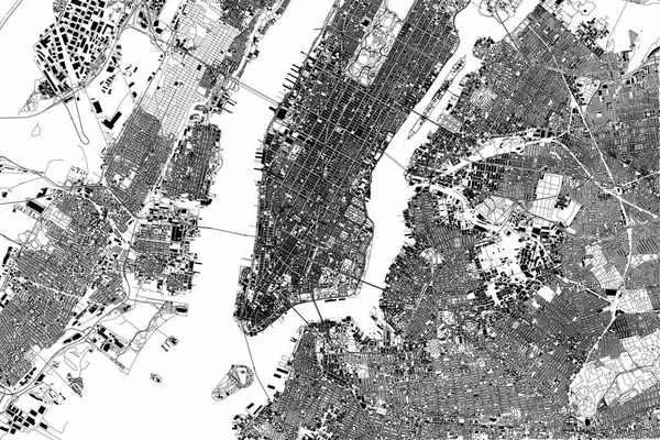
New York Map, Satellite View, The United States, Illustration, Houses, Neighborhoods And Streets
Vector, 29.43MB, 4227 × 2823 eps
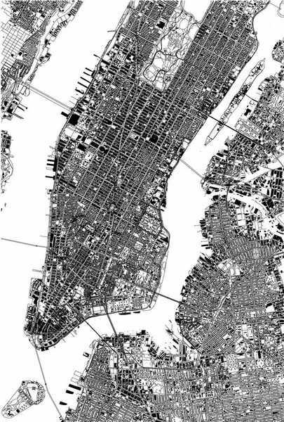
New York Map, Satellite View, The United States, Illustration, Houses, Neighborhoods And Streets
Vector, 12.4MB, 3512 × 5201 eps


Abstract Topographic Map Background. Water Depth. Vector Illustration.
Vector, 0.34MB, 5000 × 3333 eps


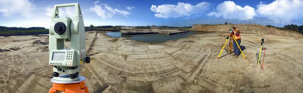
Total Station Surveying And Measuring Engineering Equipment At Work In Garden Or Forest
Image, 5.71MB, 4903 × 3263 jpg


Topographic Map. The Stylized Height Of The Topographic Contour In Lines And Contours. Vector Stock Illustration
Vector, 1.21MB, 5216 × 4167 eps


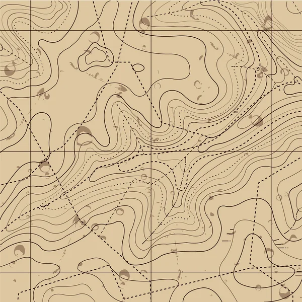
Fully Editable And Scalable Vector Illustration Of Topographic Map On A Dark Background. Great As An Abstract Background.
Vector, 1.09MB, 7681 × 4321 eps

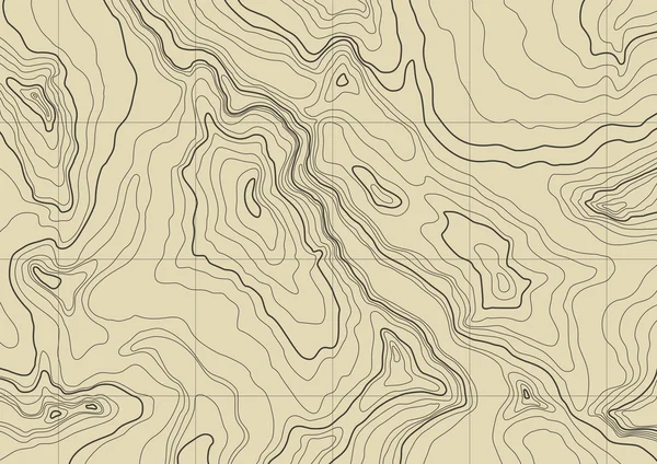
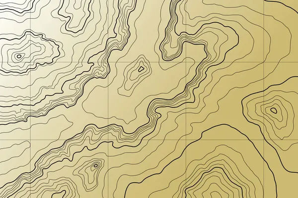
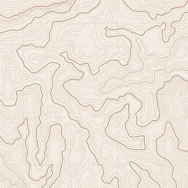
Topographic Map Background Concept With Space For Your Copy.Vector Abstract Illustration.Geography Concept. Vector Illustration
Vector, 2.72MB, 6000 × 4000 eps


Topographic Map Background. Geographic Line Map With Elevation Assignments. Geographic Grid Map. Abstract Wavy And Curved Lines Background. Vector Illustration
Vector, 5.62MB, 6251 × 4167 eps

Vector Fully Editable And Scalable Illustration Of Topographic Map On A Light Background. Great As An Abstract Background.
Vector, 1.09MB, 7680 × 4321 eps
Vector Retro Futuristic Background. Abstract Digital Landscape With Particles Dots And Stars On Horizon. Wireframe Landscape Background. Big Data Digital Retro Landscape Retro Sci-Fi Background.
Vector, 1.38MB, 3333 × 1791 eps

Fully Editable And Scalable Vector Illustration Of Topographic Map On A Dark Background. Great As An Abstract Background.
Vector, 1.09MB, 7681 × 4321 eps

Topographic Bright Map On Blue Background. Geographic Line Map With Elevation Assignments. Contour Background Geographic Grid. Vector Illustration.
Vector, 6.39MB, 6300 × 3001 eps
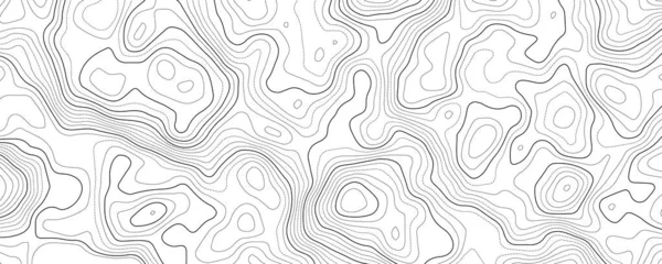
Topographic Map. Black Lines On White Background. Contour Abstract Background. Vector Illustration.
Vector, 5.36MB, 6250 × 6250 eps
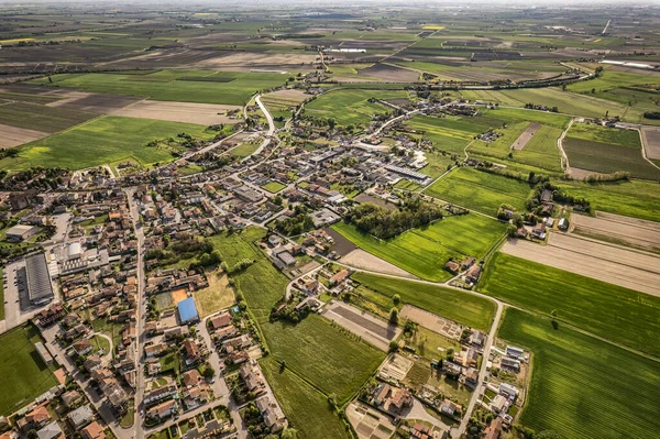
Captivating Aerial Perspective Of A Quaint Village Nestled Amidst The Lush, Green Po Valley Farmlands In Italy
Image, 23.73MB, 5464 × 3640 jpg

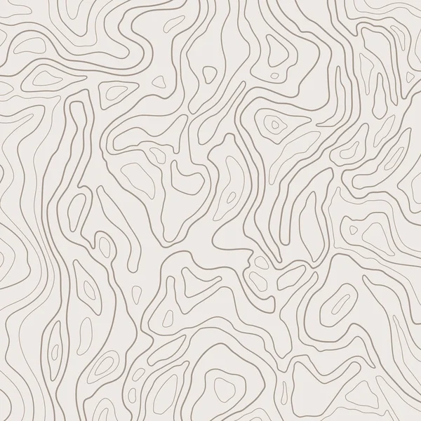
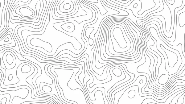
Grey Contours Vector Topography. Geographic Mountain Topography Vector Illustration. Topographic Pattern Texture. Map On Land Vector Terrain. Elevation Graphic Contour Height Lines. Topographic Map
Vector, 0.77MB, 6757 × 3998 eps


Close Up Image Of A Windpump / Windmill /windpomp Against A Bright Blue Sky In The Karoo Of South Africa
Image, 25.79MB, 9678 × 3673 jpg
Page 1 >> Next