Home
Images
Vectors
Videos
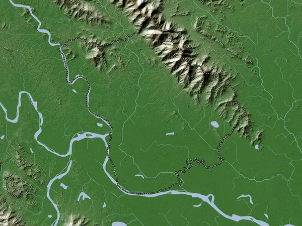
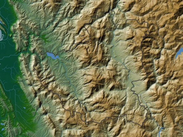
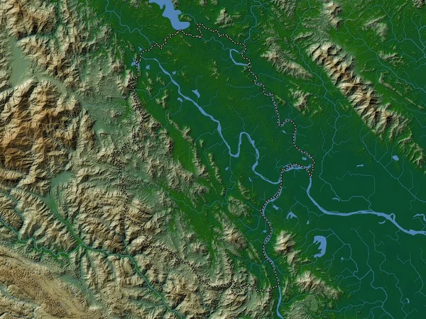
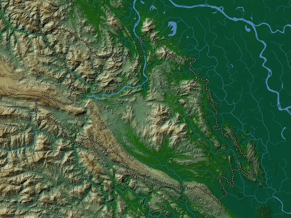
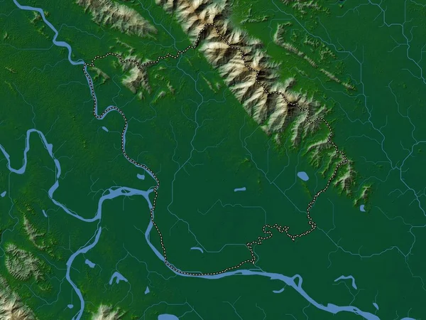
Stock image Phu Tho, province of Vietnam. Colored elevation map with lakes and rivers
Published:
Apr.21, 2023 13:16:01
Author:
Yarr65
Views:
0
Downloads:
0
File type:
image
/
jpg
File size:
9.02 MB
Orginal size:
3840
x
2880
px
Available sizes:
S
(500 x 375)
M
(1000 x 750)
L
(2000 x 1500)
XL
(3840 x 2880)
EL0
(3840 x 2880)
Level:
bronze
Download Image
Image topics:
Shape
Nature
Border
Contour
Earth
Planet
World
Ocean
Science
Capital
Outline
Country
Map
Geography
Continent
Land
Zoom
Asia
Vietnam
Hanoi
Region
Territory
Atlas
Province
Legend
Stereographic
Vnm
Administrative Division
Viet Tri
Phu Tho
Similar stock images
Yen Bai, Province Of Vietnam. Colored Elevation Map With Lakes And Rivers
3840 × 2880
Hoa Binh, Province Of Vietnam. Colored Elevation Map With Lakes And Rivers
3840 × 2880
Son La, Province Of Vietnam. Colored Elevation Map With Lakes And Rivers
3840 × 2880
Vinh Phuc, Province Of Vietnam. Colored Elevation Map With Lakes And Rivers
3840 × 2880
Ha Noi, City|municipality|thanh Pho Of Vietnam. Colored Elevation Map With Lakes And Rivers
3840 × 2880
Vinh Phuc, Province Of Vietnam. Elevation Map Colored In Wiki Style With Lakes And Rivers
3840 × 2880
Tuyen Quang, Province Of Vietnam. Colored Elevation Map With Lakes And Rivers
3840 × 2880
Diber, County Of Albania. Colored Elevation Map With Lakes And Rivers
3840 × 2880