photo free
Home Images Vectors Videos

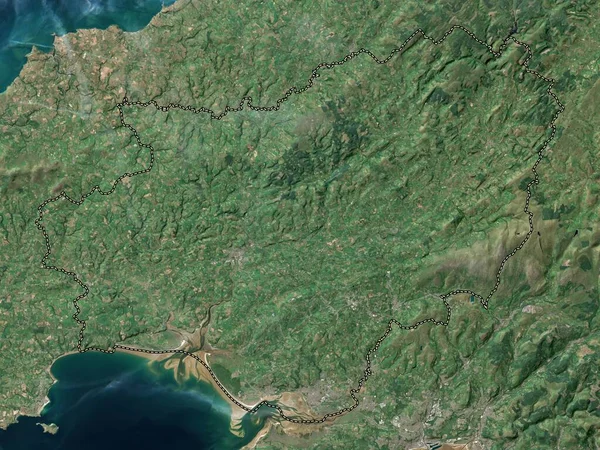
Stock image Powys, region of Wales - Great Britain. Low resolution satellite map
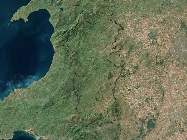
Stock image Powys, region of Wales - Great Britain. Low resolution satellite map
Published: Apr.21, 2023 12:52:48
Author: Yarr65
Views: 0
Downloads: 0
File type: image / jpg
File size: 9.64 MB
Orginal size: 3840 x 2880 px
Available sizes:
S
(500 x 375)
M
(1000 x 750)
L
(2000 x 1500)
XL
(3840 x 2880)
EL0
(3840 x 2880)
Level: bronze
Download Image
Image topics:

Similar stock images

stock image Carmarthenshire, region of Wales - Great Britain. Low resolution satellite map

Carmarthenshire, Region Of Wales - Great Britain. Low Resolution Satellite Map

3840 × 2880
stock image Fife, region of Scotland - Great Britain. Low resolution satellite map

Fife, Region Of Scotland - Great Britain. Low Resolution Satellite Map

3840 × 2880
stock image Neath Port Talbot, region of Wales - Great Britain. Low resolution satellite map

Neath Port Talbot, Region Of Wales - Great Britain. Low Resolution Satellite Map

3840 × 2880
stock image Skikda, province of Algeria. High resolution satellite map

Skikda, Province Of Algeria. High Resolution Satellite Map

3840 × 2880
stock image Dumfries and Galloway, region of Scotland - Great Britain. Low resolution satellite map

Dumfries And Galloway, Region Of Scotland - Great Britain. Low Resolution Satellite Map

3840 × 2880
stock image South West, region of United Kingdom. Satellite imagery. Shape outlined against its country area. 3D rendering

South West, Region Of United Kingdom. Satellite Imagery. Shape Outlined Against Its Country Area. 3D Rendering

2880 × 1620
stock image Lancashire, administrative county of England - Great Britain. Low resolution satellite map

Lancashire, Administrative County Of England - Great Britain. Low Resolution Satellite Map

3840 × 2880
stock image Aberdeenshire, region of Scotland - Great Britain. High resolution satellite map

Aberdeenshire, Region Of Scotland - Great Britain. High Resolution Satellite Map

3840 × 2880