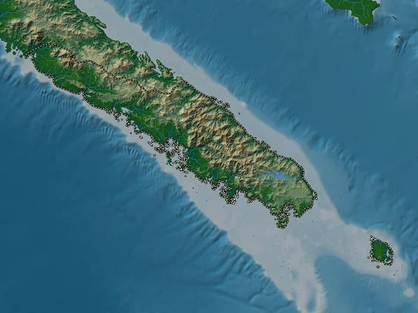
Stock image Pulau Simeulue in the Indian Ocean on a satellite image taken in February 24, 2020

Published: Sep.11, 2024 14:54:29
Author: zelwanka
Views: 0
Downloads: 0
File type: image / jpg
File size: 4.08 MB
Orginal size: 2880 x 1620 px
Available sizes:
Level: beginner
Similar stock images


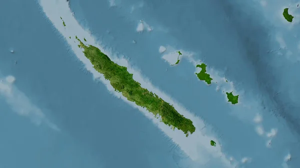
New Caledonia Area On The Satellite C Map In The Stereographic Projection - Raw Composition Of Raster Layers
2880 × 1620