Home
Images
Vectors
Videos
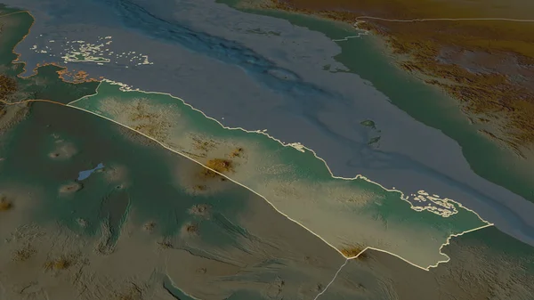
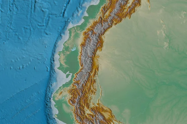
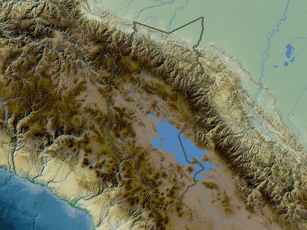
Stock image Puno, region of Peru. Colored elevation map with lakes and rivers
Published:
Jan.30, 2023 13:59:27
Author:
Yarr65
Views:
2
Downloads:
0
File type:
image
/
jpg
File size:
9.75 MB
Orginal size:
3840
x
2880
px
Available sizes:
S
(500 x 375)
M
(1000 x 750)
L
(2000 x 1500)
XL
(3840 x 2880)
EL0
(3840 x 2880)
Level:
bronze
Download Image
Image topics:
Shape
Nature
Border
Contour
Earth
Planet
World
Ocean
Science
Capital
Outline
Country
Map
Geography
Continent
Land
Zoom
Region
Territory
Atlas
Legend
Lima
Peru
Puno
Per
Juli
Stereographic
Rinconada
South America
Santa Lucia
Desaguadero
Pomata
Juliaca
Azangaro
Macusani
Administrative Division
Nunoa
Atuncolla
La Rinconada
Coasa
Similar stock images
Zoom In On Debubawi Keyih Bahri (region Of Eritrea) Outlined. Oblique Perspective. Topographic Relief Map With Surface Waters. 3D Rendering
3840 × 2160
Extended Area Of Ecuador. Topographic Relief Map. 3D Rendering
3000 × 2000
Zoom In On Newfoundland And Labrador (province Of Canada) Outlined. Oblique Perspective. Satellite Imagery. 3D Rendering
3840 × 2160
Zoom In On Ak Lak (province Of Vietnam) Extruded. Oblique Perspective. Topographic Relief Map With Surface Waters. 3D Rendering
3840 × 2160
Sistan And Baluchestan, Province Of Iran. Satellite Imagery. Shape Outlined Against Its Country Area. 3D Rendering
2880 × 1620
Delaware, State Of United States. Satellite Imagery. Shape Outlined Against Its Country Area. 3D Rendering
2880 × 1620
Zoom In On Obock (region Of Djibouti) Extruded. Oblique Perspective. Topographic Relief Map With Surface Waters. 3D Rendering
3840 × 2160