Home
Images
Vectors
Videos
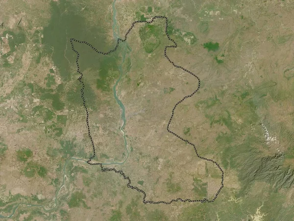
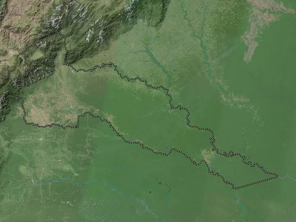
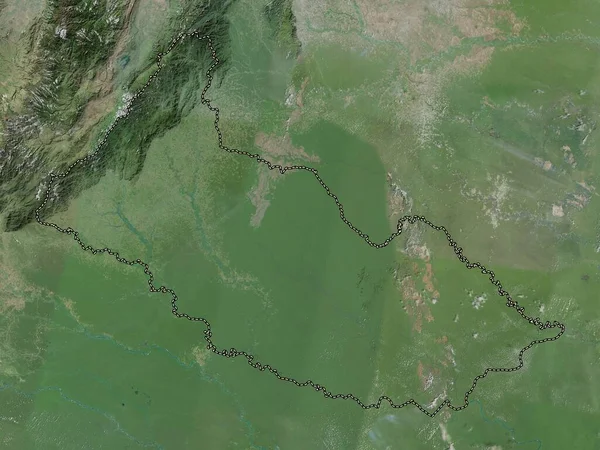
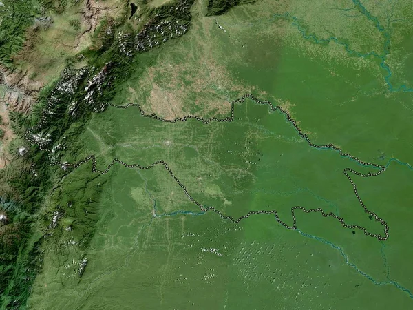
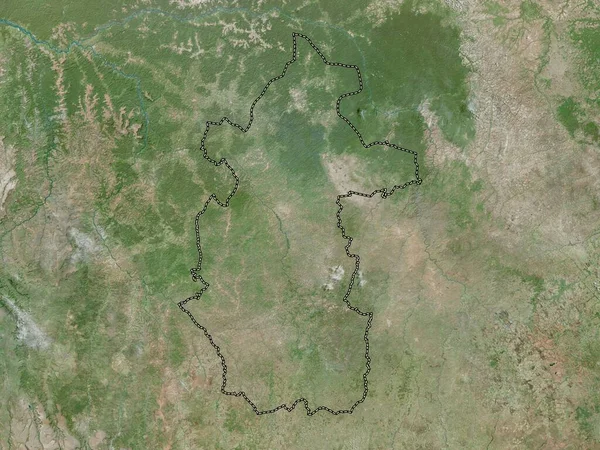
Stock image Putumayo, intendancy of Colombia. High resolution satellite map
Published:
Sep.28, 2022 11:13:42
Author:
Yarr65
Views:
1
Downloads:
0
File type:
image
/
jpg
File size:
8.11 MB
Orginal size:
3840
x
2880
px
Available sizes:
S
(500 x 375)
M
(1000 x 750)
L
(2000 x 1500)
XL
(3840 x 2880)
EL0
(3840 x 2880)
Level:
bronze
Download Image
Image topics:
Shape
Nature
Border
Contour
Earth
Planet
World
Ocean
Science
Capital
Outline
Country
Map
Geography
Continent
Land
Zoom
Region
Territory
Atlas
Legend
Col
Colombia
Bogota
Stereographic
South America
Santa Rosalía
Putumayo
La Primavera
Mocoa
Administrative Division
Cumaribo
Intendancy
Similar stock images
Caqueta, Intendancy Of Colombia. High Resolution Satellite Map
3840 × 2880
Sucumbios, Province Of Ecuador. High Resolution Satellite Map
3840 × 2880
Cuanza Norte, Province Of Angola. High Resolution Satellite Map
3840 × 2880
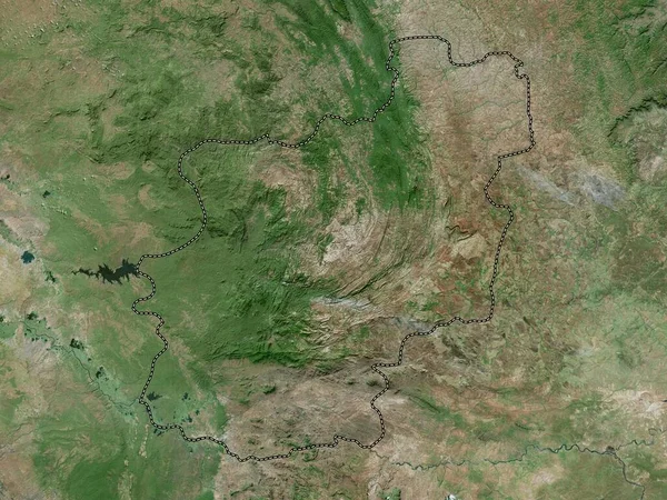
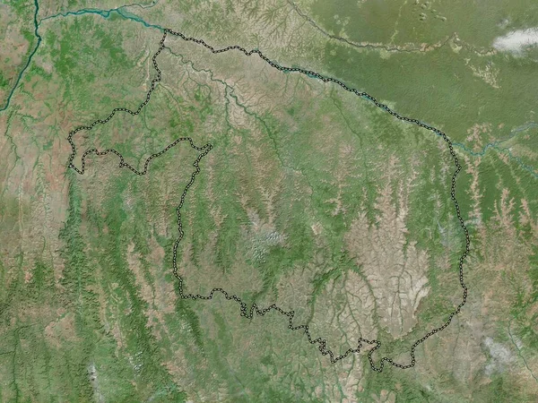
Kasai-Central, Province Of Democratic Republic Of The Congo. High Resolution Satellite Map
3840 × 2880
Kracheh, Province Of Cambodia. Low Resolution Satellite Map
3840 × 2880
Elias Pina, Province Of Dominican Republic. High Resolution Satellite Map
3840 × 2880
Bamingui-Bangoran, Prefecture Of Central African Republic. High Resolution Satellite Map
3840 × 2880
Kwilu, Province Of Democratic Republic Of The Congo. High Resolution Satellite Map
3840 × 2880