
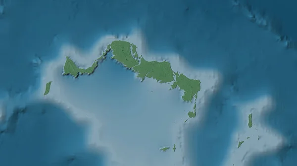
Stock image Rathlin Island in the Inner Seas off the West Coast of Scotland on a colored elevation map

Published: Sep.11, 2024 15:28:43
Author: zelwanka
Views: 0
Downloads: 0
File type: image / jpg
File size: 0.64 MB
Orginal size: 2880 x 1620 px
Available sizes:
Level: beginner
Similar stock images


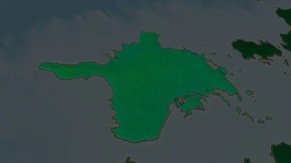
Hiiu - County Of Estonia Zoomed And Highlighted. Main Physical Landscape Features. 3D Rendering
2880 × 1620
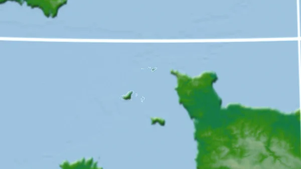
Guernsey. Neighborhood - Distant Perspective With Outline Of The Country. Color Physical Map
2880 × 1620

